Ludham Walks

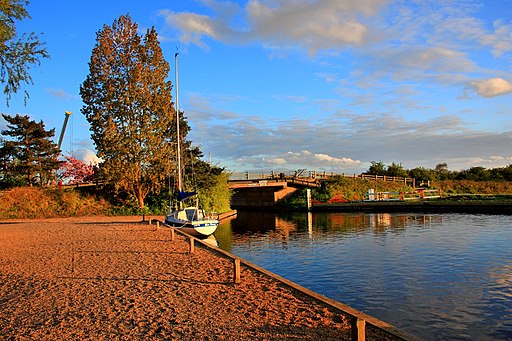
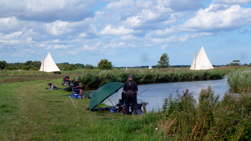
 This Norfolk Broads based village sits in a lovely spot near Womack Water and the River Thurne.
In the historic settlement you'll find chocolate box thatched houses and the impressive 14th Century St Catherine’s Church.
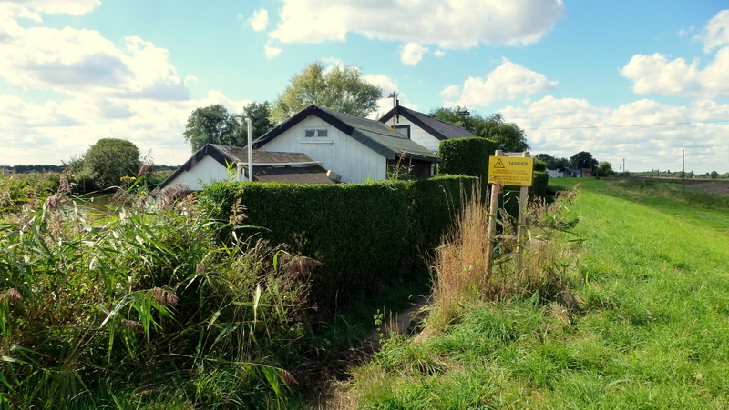
This circular river walk takes you to neighbouring Potter Heigham on a series of public footpaths before returning through the countryside on a quiet country lane. On the way you'll enjoy paths along the River Thurne and a visit to a number of pretty broads.
The walk starts in the village public car park and follows footpaths south to Horse Fen and Womack Water Mill on the River Thurne. You then head east along the river to Potter Heigham Bridge where you can see the ancient medieval stone bridge and pick up boat trips.
In Potter Heigham you pick up a section of the Weavers' Way, long distance trail. Follow the waymarked path east to Candle Dyke where the trail takes you past a series of broads including the expansive Hickling Broad.
The trail then takes you through Potter Heigham village before follownig a country lane west back to Ludham.
Ludham Ordnance Survey Map  - view and print off detailed OS map
Ludham Open Street Map  - view and print off detailed map
Ludham OS Map  - Mobile GPS OS Map with Location tracking
Ludham Open Street Map  - Mobile GPS Map with Location tracking
Walks near Ludham
- Potter Heigham - This pretty little village in the Norfolk Broads has some lovely waterside walks to try.
- Hickling Broad - Visit the Norfolk Broads village of Hickling and enjoy a walk around the beautiful Hickling Broad
- Weavers' Way - Follow the Weavers' Way through the beautiful Norfolk Broads from Cromer to Great Yarmouth via North Walsham
- Fleggburgh and Filby Broad - This short circular walk in the Norfolk village of Fleggburgh visits Filby Broad in the Trinity Broads
- Horsey Windpump and Horsey Mere - A fine circular walk visiting an early 20th century drainage windmill on the Norfolk Broads with lovely waterside footpaths along Horsey Mere and other waterways
- Acle and the River Bure - This circular walk explores the Bure Valley around the pretty Norfolk market town of Acle
- How Hill - This walk takes you through the area around How Hill House in the Norfolk Broads
- Winterton on Sea - This village in Norfolk has lovely coastal walking trails, a wonderful dune based nature reserve and some gorgeous local broads and meres to visit
- Barton Broad Boardwalk - This walk takes you to the lovely Barton Broad Boardwalk where you can follow the accessible path through swampy woodland and enjoy wonderful views across Barton Broad.
- Salhouse Broad - This walk visits Salhouse Broad in the Norfolk Broads National Park
- Hemsby - This seaside village is located on the east Norfolk coast just to the south of Winterton on Sea.
Pubs/Cafes
- Kings Arms - Attractive large pub with a popular carvery. Located only a short walk from the Ludham mooring at postcode NR29 5QQ for sat navs. Include parking and a garden.
- Dog Inn - A comfortable free house with its own camping and caravan site. The pub is located at Ludham Bridge to the west of Ludham at postcode NR29 5NY. In this area you can also visit the How Hill estate where there's lovely parkland and gardens with riverside paths along the River Ant.
The Dog Inn has a nice large garden and is also dog friendly.
Further Information and Other Local Ideas
For more walking ideas in the area see the Norfolk Broads Walks page.


