Ludshott Common
![]()
![]() Explore this large area of heathland and woodland on this circular walk in East Hampshire.
Explore this large area of heathland and woodland on this circular walk in East Hampshire.
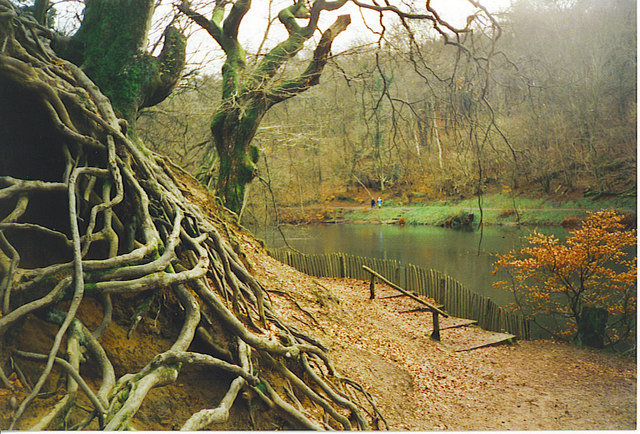
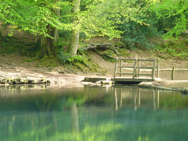
You can start your walk from the Waggoners Wells car park at the end of Waggoners Wells Lane. This gives you direct access to the three pretty man made ponds and Cooper's Stream which runs through the adjacent Bramshott Common. From the ponds there are good footpaths and bridleways leading north west towards Headley Down. There's 285 hectares (700 acres) to explore with lots of wildlife to look out for. This includes roe deer, sand lizards, woodlark, nightjar and Dartford warbler. There's also lots of interesting vegetation including pretty heather, gorse scrub and some impressive 'cathedral' Scots pine trees.
The common is loated close to the village of Liphook where you can pick up a number of long distance trails to take you into the South Downs. The Sussex Border Path, Serpent Trail and the new New Lipchis Way all run through the area just to the south of the common so it's easy to extend your walking in the area. You can also explore another National Trust managed site at Marley Common near Haslemere.
Just to the west you will find Woolmer Forest.
The forest has some good public footpaths and is considered the best area of lowland heath outside the New Forest.
Postcode
GU26 6JJ - Please note: Postcode may be approximate for some rural locationsLudshott Common Ordnance Survey Map  - view and print off detailed OS map
Ludshott Common Open Street Map  - view and print off detailed map
Ludshott Common OS Map  - Mobile GPS OS Map with Location tracking
Ludshott Common Open Street Map  - Mobile GPS Map with Location tracking
Pubs/Cafes
Applegarth Farm is located on the eastern side of the common. They have a lovely restaurant selling home grown produce from their kitchen garden. There is also a farm shop and deli counter. You can find them at postcode GU26 6JL for your sat navs.
Dog Walking
The woodland and common trails are ideal for dog walking. You'll probably see other owners as it's a popular place.
Further Information and Other Local Ideas
Just a few miles to the south east there's the significant site of Black Down to explore. The Down includes some fine ancient woodland and is notable as the highest point in the South Downs, commanding wonderful views towards the coast. Just south of Black Down there's the worthy village of Lurgashall to explore. The picturesque settlement includes a pretty village green, a quintessentially English cricket pitch, a millpond, a historic Saxon church and a number of historic timber framed properties to admire.
In nearby Bordon there's the Hogmoor Inclosure to explore. The area has lots of family activities with woodland walking and cycling paths plus a sculpture trail.
For more walking ideas in the area see the Hampshire Walks page.


