Mellor Cross Walk
![]()
![]() This circular walk takes you up to the Mellor Cross on Mellor Moor in Greater Manchester.
This circular walk takes you up to the Mellor Cross on Mellor Moor in Greater Manchester.
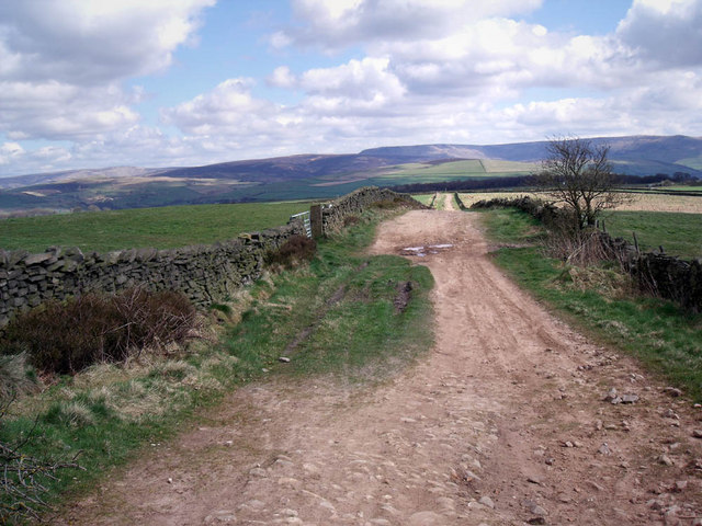
You can start your walk in the village and then follow tracks south past the golf course to Black Lane. Turn east here and it will take you to the cross which is positioned at a height of around 327 metres on the moor. The large cross marks the site where John Wesley preached during the 18th century. Wesley was a leader of a revival movement within the Church of England known as Methodism. From the elevated position of the cross there are fine views over the surrounding countryside of the Goyt Valley.
After taking in the views you can follow Primrose Lane past Cobden Edge to return to the village. Here you can visit St Thomas's Church which sits in a photogenic hill top position.
Mellor Ordnance Survey Map  - view and print off detailed OS map
Mellor Open Street Map  - view and print off detailed map
Mellor OS Map  - Mobile GPS OS Map with Location tracking
Mellor Open Street Map  - Mobile GPS Map with Location tracking
Further Information and Other Local Ideas
The Cown Edge Way passes through the area. You could pick up this long distance trail to visit the Cowm Edge Rocks.
You could also try the Marple Canal Locks Walk along the Peak Forest Canal near Marple Bridge. Near here you could explore the historic Chadkirk Country Estate in Romiley. There's a noteworthy 16th century chapel, a little cafe and a walled garden to enjoy here.
Also nearby is the pretty little hamlet of Rowarth. Here you will find the Little Mill Inn, a delightful Grade II listed inn set in a former candlewick mill, with a waterwheel in the adjacent stream. The historic mill is well known locally and includes an outdoor area with ducks and geese on the river, chickens roaming free and rabbits in a large outdoor pen. Our walk from the village climbs to the geologically fascinating Cown Edge Rocks and Robin Hood's Picking Rods.
For more walking ideas in the area see the Greater Manchester Walks page.
Cycle Routes and Walking Routes Nearby
Photos
Cross on Top of Mellor Moor. This huge wooden cross marks the site where John Wesley preached. It stands on the only part of Mellor Moor that is actually moorland, and is Access Land. The inscription says "Erected by the Marple and District Council of Churches. 27th March 1970." It looks out over southern Stockport and beyond.


