Rowarth Walks
![]()
![]() This delightful little hamlet is located in the High Peak area of Derbyshire, near New Mills and Marple Bridge.
This delightful little hamlet is located in the High Peak area of Derbyshire, near New Mills and Marple Bridge.
It's a nice place to start a walk with plenty of local trails and a noteworthy old pub for refreshments after your exercise.
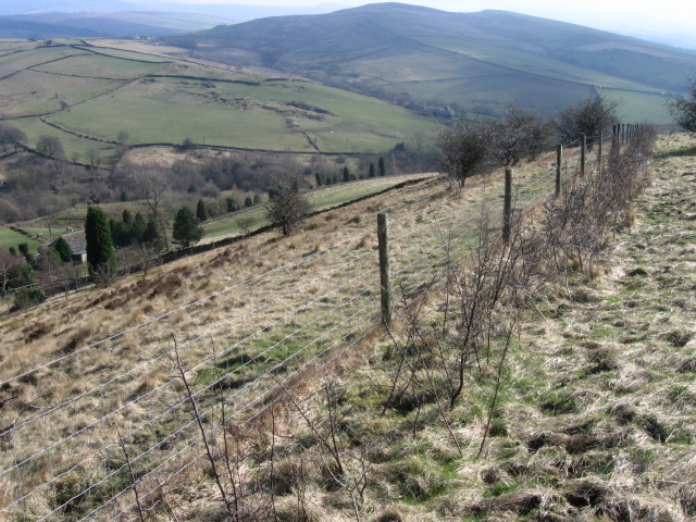
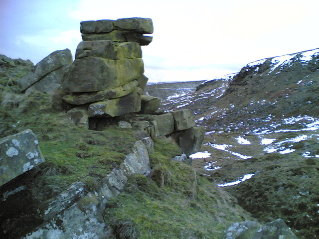
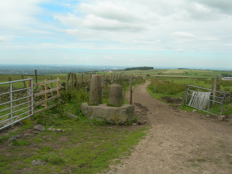
This route from the village uses sections of the Cown Edge Way and the Pennine Bridleway to create a circular walk through the surrounding area. At the northern end of the route there is a small detour to visit Cown Edge Rocks where there is some wonderful rock formations and tremendous views over the Peak District.
To continue your walking around Rowarth head south east and enjoy a climb to Lantern Pike for more great views over the area.
Postcode
SK22 1EB - Please note: Postcode may be approximate for some rural locationsRowarth Ordnance Survey Map  - view and print off detailed OS map
Rowarth Open Street Map  - view and print off detailed map
Rowarth OS Map  - Mobile GPS OS Map with Location tracking
Rowarth Open Street Map  - Mobile GPS Map with Location tracking
Walks near Rowarth
- New Mills - A circular waterside walk around the Peak District town of New Mills with sections along the River Goyt and the Peak Forest Canal
- Marple Bridge - This pretty village in Greater Manchester has some nice river and canalside trails to try
- Cown Edge Way - Visit the striking Cown Edge rocks on this walk through Greater Manchester and Derbyshire
- Lantern Pike - This climb to Lantern Pike from Hayfield makes use of the Pennine Bridleway
- Peak Forest Canal - Travel from Derbyshire into Greater Manchester on this waterside walk along the Peak Forest Canal
- Sett Valley Trail - This splendid cycling and walking trail runs through the beautiful Sett Valley in the Peak District
- Goyt Way - Follow the Goyt Way along the Peak Forest Canal and the River Goyt on this lovely waterside walk through Greater Manchester and Derbyshire.
The walk starts by Etherow Country Park Lake in Compstall and heads south through Marple and New Mills to Whaley Bridge - Torrs Riverside Park and Millennium Way - This special park in New Mills takes you through a beautiful river gorge with a fabulous 160 metre long walkway elevated over the water.
- Marple Canal Locks - This easy walk takes you along a particularly lovely section of the Peak Forest Canal in Marple
- Macclesfield Canal - Follow the towpath of the Macclesfield Canal from Marple to Kidsgrove on this waterside walk in Cheshire
- Lyme Park - This is a circular walk through the splendid Lyme Park in Disley, Cheshire
- Mellor - This circular walk takes you up to the Mellor Cross on Mellor Moor in Greater Manchester.
- Chadkirk Country Estate - This pretty country park is located on the River Goyt near Marple
- Romiley - This village in Greater Manchester has some nice local parks and a canal to explore on foot.
- Pennine Bridleway - This fabulous 120 mile long trail runs through the beautiful Derbyshire Peak District, through Lancashire and on into Yorkshire.
It is suitable for mountain bikers, horse riders and walkers taking you on a tour through some of the most beautiful parts of the country
Pubs/Cafes
The Little Mill Inn is a well known local pub set in a lovely location. The Grade II listed inn is set in a former candlewick mill, with a waterwheel in the adjacent stream. It also includes a former Brighton Belle Pullman railway coach which was once used as dining and guest accommodation. They serve high quality food and also provide luxury rooms if you'd like to stay in the area. Outdoors there's a splendid garden area, ducks and geese on the river, chickens roaming free and rabbits in a large outdoor pen. You can find them on Hollinsmoor Rd with a postcod of SK22 1EB for your sat navs.
Dog Walking
The footpaths make for a good walk for fit dogs. The Little Mill Inn mentioned above is also dog friendly.


