Romiley Walks
![]()
![]() This village in Greater Manchester has some nice local parks and a canal to explore on foot.
This village in Greater Manchester has some nice local parks and a canal to explore on foot.
This walk from the village takes you to two of the local highlights at the Chadkirk Country Estate and Etherow Country Park.
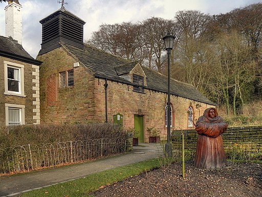
The walk starts from the train station and heads west to pick up the Peak Forest Canal. Follow the canal south and then east and it will take you to the Chadkirk Estate. Here you will find a 60 acre farm, an old orchard, a walled garden, peaceful woodland and a 16th century chapel with an audio visual presentation on the history of the site.
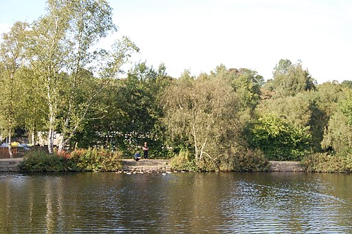
The route then picks up the Etherow Goyt Valley Way and follows it east to Redbrow Wood and Compstall where you can explore Etherow Country Park. Features here include trails along the River Etherow, bluebell woods and a lakeside footpath.
Romiley Ordnance Survey Map  - view and print off detailed OS map
Romiley Open Street Map  - view and print off detailed map
Romiley OS Map  - Mobile GPS OS Map with Location tracking
Romiley Open Street Map  - Mobile GPS Map with Location tracking
Walks near Romiley
- Chadkirk Country Estate - This pretty country park is located on the River Goyt near Marple
- Etherow Goyt Valley Way - The Goyt Valley is an excellent place for walks with fine riverside trails along the Rivers Goyt and Etherow
- Etherow Country Park - Enjoy a stroll along the River Etherow and around the large reservoir in this pretty country park near Marple and Stockport
- Goyt Way - Follow the Goyt Way along the Peak Forest Canal and the River Goyt on this lovely waterside walk through Greater Manchester and Derbyshire.
The walk starts by Etherow Country Park Lake in Compstall and heads south through Marple and New Mills to Whaley Bridge - Midshires Way - This route follows public bridleways and quiet country lanes through Middle England, from Bledlow, near Aylesbury in Buckinghamshire, to Stockport in Greater Manchester
- Werneth Low Country Park - Enjoy fantastic views across Manchester and the Pennine Hills in this 200 acre country park. On a clear day the hills of North Wales are also visible beyond the Cheshire plain
- Trans Pennine Trail - This terrific walking and cycling trail runs from coast to coast across northern England entirely on surfaced paths
- Mellor - This circular walk takes you up to the Mellor Cross on Mellor Moor in Greater Manchester.
- Peak Forest Canal - Travel from Derbyshire into Greater Manchester on this waterside walk along the Peak Forest Canal
- Marple Bridge - This pretty village in Greater Manchester has some nice river and canalside trails to try
- Rowarth - This delightful little hamlet is located in the High Peak area of Derbyshire, near New Mills and Marple Bridge.


