Mungrisdale Walks

 This small village is located in the north eastern corner of the Lake Disitrict.
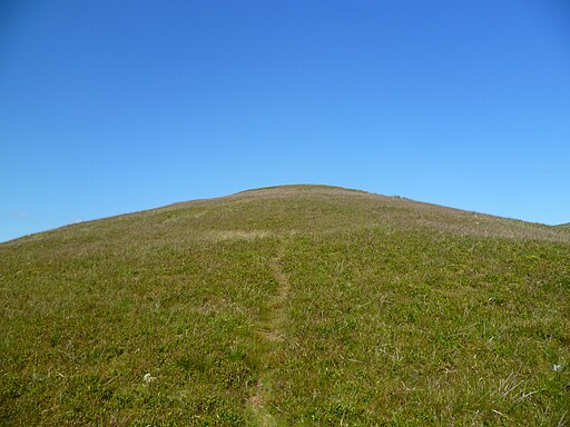
This circular walk from the village takes you up to The Tongue and Bowscale Fell which lie just to the west of the settlement.
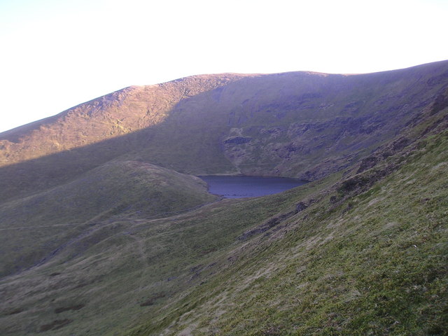
The route also includes a riverside walk along the River Glenderamackin at the start and a visit to Bowscale Tarn.
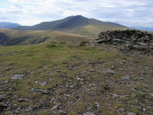
From the high points there are glorious views over the surrounding lakeland fells.
To continue your walking around the village head south for the popular climb to Blencathra.
Postcode
CA11 0XR - Please note: Postcode may be approximate for some rural locationsMungrisdale Ordnance Survey Map  - view and print off detailed OS map
Mungrisdale Open Street Map  - view and print off detailed map
Mungrisdale OS Map  - Mobile GPS OS Map with Location tracking
Mungrisdale Open Street Map  - Mobile GPS Map with Location tracking
Walks near Mungrisdale
- Blencathra - This is a fantastic climb to the summit of one of the Lake District's most well known and popular mountains
- Great Mell Fell - This walk climbs to Great Mell Fell in the Lake District National Park.
- Keswick Railway Path - Enjoy an easy cycle or walk along the Keswick Railway Path in the Lake District National Park
- Latrigg - Climb this popular fell near Keswick on this lovely circular walk in the Lake District National Park
- Castlerigg Stone Circle - Visit the Stonehenge of the Lake District on this fascinating circular walk in Keswick.
You can start your walk from the roadside parking spaces at the junction of Eleven Trees and Castle Lane - Gowbarrow Fell - This circular walk visits Aira Force Waterfall before climbing to Gowbarrow Fell above Ullswater Lake
- Ullswater Way - Explore the area around Ullswater Lake on this waymarked circular walk in the Lake District National Park
- Greystoke Forest - This large area of woodland near Penrith has miles of cycling and walking trails to try
- Ullswater Way - Explore the area around Ullswater Lake on this waymarked circular walk in the Lake District National Park
- Glenridding to Aira Force Walk - This walk follows a section of the Ullswater Way from Glenridding to the beautiful Aira Force Waterfall
- Howtown to Glenridding - This is a popular lakeside walk from Howtown to Glenridding along the Ullswater Way long distance trail
- Aira Force - This walk visits the beautiful Aira Force waterfall next to Ullswater Lake in the Lake District National Park
- Eycott Hill - This walk visits the Eycott Hill Nature Reserve near Penrith in Cumbria.
Pubs/Cafes
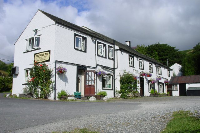
Back in the village you can enjoy some well earned refreshments at the Mill Inn. The 17th century coaching inn serves fine food and a good selection of ales. They are dog friendly.
Dog Walking
Just to the east of the village there's the Eycott Hill Nature Reserve. There's some interesting rare plants, a wonderful volcanic landscape and glorious views over the area from the hill top here.


