Pugneys Country Park

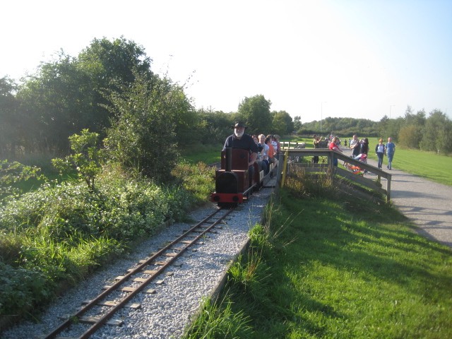
 This 250 acre park contains two lakes with pleasant waterside footpaths. There is one large lake suitable for watersports and another smaller lake designated as a nature reserve. The River Calder also runs past the park so you could continue your walk along the riverside footpath to Horbury if you have time. Also of interest is the ruins of Sandal Castle which overlook the park and Pugneys light railway - the little electric train runs for 3/4 of a mile around the park and is well worth a trip!
Pugneys is located just south of Wakefield city centre. It has very good facilities with a watersports centre, cafe and parking.
To extend your walking in the area pick up the Wakefield Canal and follow it to Castleford. Also nearby are two other nice country parks. Newmillerdam Country Park is just to the south and Anglers Country Park is a few miles to the south east.
Postcode
WF2 7EQ - Please note: Postcode may be approximate for some rural locationsPugneys Country Park Ordnance Survey Map  - view and print off detailed OS map
Pugneys Country Park Open Street Map  - view and print off detailed map
Pugneys Country Park OS Map  - Mobile GPS OS Map with Location tracking
Pugneys Country Park Open Street Map  - Mobile GPS Map with Location tracking
Pubs/Cafes
The on site Boat House is a nice place for some post walk refreshments. They serve a good range of meals, snacks and hot drinks.
In nearby Horbury there's the noteworthy Navigation Inn. The pub is splendidly positioned on an island between the River Calder & Calder & Hebble Navigation. You can sit outside and watch the boats go by on the waterways. It's also a short walk from Calder Vale on the other bank of the river via an interesting tubular footbridge. The pub can be found at Broad Cut Road, Calder Grove, WF4 3DS. The inn is dog friendly.
Dog Walking
The park is very dog friendly with a dog wash and plenty of bins. You'll likely bump into other owners on your visit.
Further Information and Other Local Ideas
If you head a few miles south east of the park you could enjoy more waterside walking at the Barnsley Canal and Wintersett Reservoir.
The popular Wakefield Wheel Cycle Route starts in the park. The 38 mile circular route visits several of the local highlights, using a waymarked trail.
To the north east there's the splendid aqueduct at Stanley Ferry to visit. The area is popular with walkers with canalside paths and a fine pub to visit too. Heath Common is also in this area and has a network of trails to try.
Head north from the park and you can try the Walk around Wakefield which visits three local parks with easy surfaced footpaths taking you to rose gardens, a conservatory, a lake and an aviary.
Cycle Routes and Walking Routes Nearby
Photos
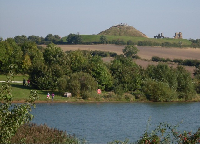
Looking across the lake to Sandal Castle. The video below shows the wonderful views from the old castle.
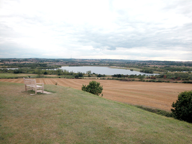
Sandal Magna Castle view. The water in the middle distance is Pugneys Country Park and Nature Reserve on the site of a former quarry. This hill and viewpoint is located on the eastern side of the park. Here you will also find the ruins of a medieval castle. It was the site of royal intrigue and the setting for a scene in Shakespeare's Henry VI, Part 3 (Act 1, Scene 2). It describes Richard's sons urging him to take the crown before news is brought of Margaret's approach. The play is sometimes performed at the site.


