Rhossili to Mumbles Coastal Walk
20.5 miles (33 km)
![]()
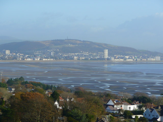
![]() This long walk follows the Gower coast from Rhossili to the Mumbles, near Swansea.
This long walk follows the Gower coast from Rhossili to the Mumbles, near Swansea.
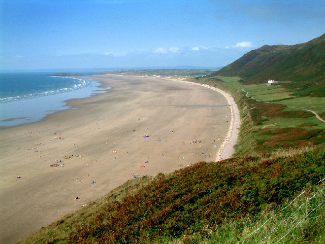
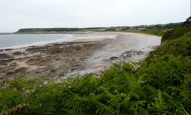
It runs for just over 20 miles, passing wonderful cliff tops and a series of beautiful bays and beaches. On the way you'll pass Port Eynon, Oxwich Bay, Pennard Castle and Caswell Bay with fabulous sea views throughout.
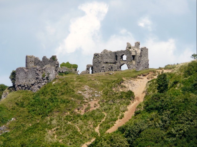
Route highlights include the Oxwich National Nature Reserve where there are lovely sand dunes and excellent wildlife watching opportunities. Nearby the photogenic ruins of the historic Pennard Castle are another noteworthy feature on the route.
Rhossili to Mumbles Coastal Walk Ordnance Survey Map  - view and print off detailed OS map
Rhossili to Mumbles Coastal Walk Open Street Map  - view and print off detailed map
Rhossili to Mumbles Coastal Walk OS Map  - Mobile GPS OS Map with Location tracking
Rhossili to Mumbles Coastal Walk Open Street Map  - Mobile GPS Map with Location tracking
Further Information and Other Local Ideas
At the Rhossili end of the walk you can continue your walking along the splendid Worm's Head.
For more walking ideas in the area see the Gower Walks page.


