Rotherfield Walks

 This village is located just east of Crowborough in the Wealden District of East Sussex.
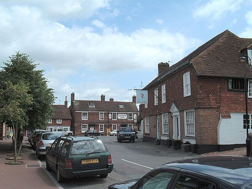
The village is a good based for exploring the nearby Ashdown Forest and the High Weald AONB where there are numerous walking options. In the village there's an attactive green, a fine 17th century pub and a noteworthy church which dates to the 11th century and is Grade I listed.
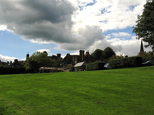
This circular walk in the village takes you across the Rotherfield Millennium Green to nearby Town Row before returning on a countryside path. The green was created in 2000 to provide the residents with a pleasant green space for walks. It includes a pond, grassland, an ancient oak, a heritage orchard and lots of wildlife. There's also grazing meadows and a stream which eventually leads into the River Grom and Medway.
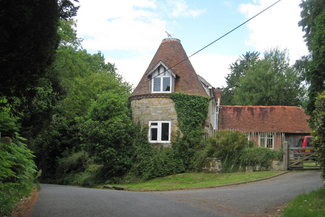
The paths lead to Town Row where there's some pretty cottages and a photogenic old oast house. There's also the old railway station which formed part off the Cuckoo Line before closing in 1965. The station is now a private house.
To continue your walking in the area head north to Eridge Rocks. The nature reserve is one of the area highlights with its huge boulders and varied flora.
Postcode
TN6 3LJ - Please note: Postcode may be approximate for some rural locationsRotherfield Ordnance Survey Map  - view and print off detailed OS map
Rotherfield Open Street Map  - view and print off detailed map
Rotherfield OS Map  - Mobile GPS OS Map with Location tracking
Rotherfield Open Street Map  - Mobile GPS Map with Location tracking
Walks near Rotherfield
- Crowborough - The town of Crowborough is nicely positioned for exploring the expansive Ashdown Forest and the High Weald AONB
- Ashdown Forest Pooh Walk - This short walk visits some of the places made famous in A.A Milne's Winnie the Pooh stories.
The walk starts from the Gills Lap car park (Postcode:TN22 3JD) located where Chuck Hatch Road and Kid's Hill meet - Hartfield Winnie the Pooh Walk - This walk takes you to some of the locations associated with A.A Milne's Winnie the Pooh books in Ashdown Forest
- Wealdway - Follow the Wealdway from the River Thames at Gravesend to Eastbourne on the Sussex coast
- Vanguard Way - This 66 mile trail runs from the outskirts of London, through Ashdown Forest, Alfriston and Cuckmere Valley to the stunning East Sussex coast.
Route highlights include the lovely Ashdown Forest, the White Horse near Alfriston and the wonderful final coastal stretch that gives views of the Seven Sisters Cliffs and Tidemills beach - Pooh Sticks Bridge - Walk to the bridge where where Winnie the Pooh invented the game of Pooh Sticks on this lovely little literary walk in Ashdown Forest.
Start the walk from the Pooh Car Park at Chuck Hatch Lane, TN7 4DN - Ashdown Forest - Explore the 'home' of Winnie-the-Pooh in this large area of woodland and heathland near Crowborough
- Heathfield - This East Sussex market town is in a good location for exploring the woods and countryside of the High Weald
- Chelwood Vachery - This circular walk visits Chelwood Vachery and Braberry Hatch Ponds in Ashdown Forest.
- Mayfield - This Sussex based village is located near Crowborough and Tunbridge Wells in the north eastern part of the county
- Eridge Rocks - This fascinating nature reserve in Tunbridge Wells contains a series of large boulders and mixed woodland
- Broadwater Warren - This delightful RSPB nature reserve in Tunbridge Wells has a nice nature trail and an all ability path to try
- Tunbridge Wells Circular Walk - Explore the beautiful countryside around Royal Tunbridge Wells on this circular walk through the High Weald AONB
Pubs/Cafes
The Kings Arms dates back to the 17th century when it began life as a coaching inn. The pub has a splendid garden area with unspoilt views over the High Weald and a large chess set. Inside there's a cosy interior with open fires and exposed beams. You can find them on the High Street at postcode TN6 3LJ for your sat navs.
Dog Walking
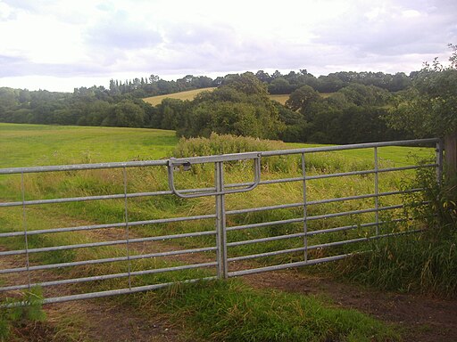
The country and woodland trails make for a fine dog walk. The Kings Arms mentioned above is also dog friendly.
Further Information and Other Local Ideas
Head west and you can explore Crowborough Common where there's 220 acres of heathland and woodland to explore on a series of footpaths.


