Rushmere Country Park

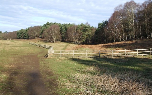
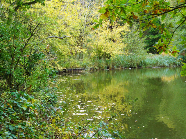
 Explore 400 acres of lakes, ancient woodland conifer plantations, meadows and heath in this country park in Leighton Buzzard.
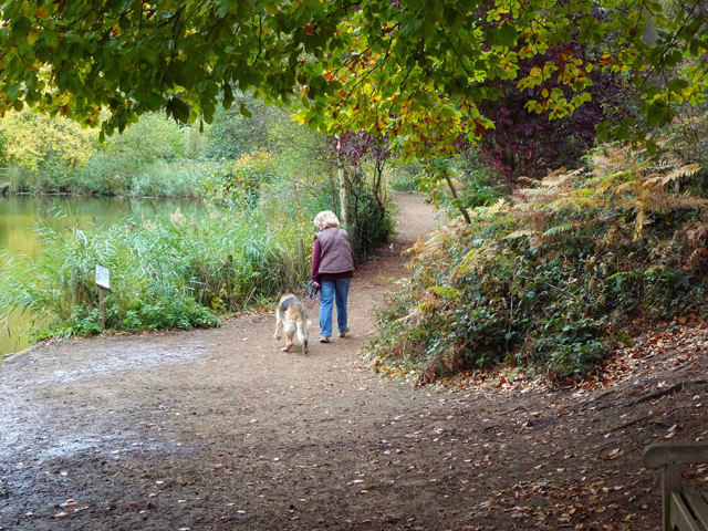
The park has numerous pleasant walking trails and a number of family cycle routes but a cycling permit is required for the trails in the park (see the link below for more information).
Rushmere includes the 80 acre Stockgrove Park which was originally part of the Stockgrove Estate based at a house in the Buckinghamshire parish of Soulbury.
The site also has a fully accessible Sculpture Trail, an excellent visitor centre and a nice cafe for refreshments after your exercise.
To continue your outing you can follow the Milton Keynes Boundary Walk and Greensand Ridge Walk north to visit Bow Brickhill Woods and Aspley Woods where there's a great red mountain bike trail to try.
Postcode
LU7 0EB - Please note: Postcode may be approximate for some rural locationsPlease click here for more information
Rushmere Country Park Ordnance Survey Map  - view and print off detailed OS map
Rushmere Country Park Open Street Map  - view and print off detailed map
Rushmere Country Park OS Map  - Mobile GPS OS Map with Location tracking
Rushmere Country Park Open Street Map  - Mobile GPS Map with Location tracking
Further Information and Other Local Ideas
The Leighton Buzzard Walk visits the park from the nearby town. It follows the Grand Union Canal Walk along the easy towpath to Rushmere before heading into the park.
Just south west of the town there's the historic Ascott House to explore. The National Trust owned house dates from the 16th century and is surrounded by some beautiful parkland and gardens. Near here you can also visit the historic village of Mentmore where you will find interesting old buildings associated with the 19th century Mentmore Towers Estate.
For more walking ideas in the area see the Bedfordshire Walks page.


