Ryburn Reservoir and Baitings Reservoir
![]()
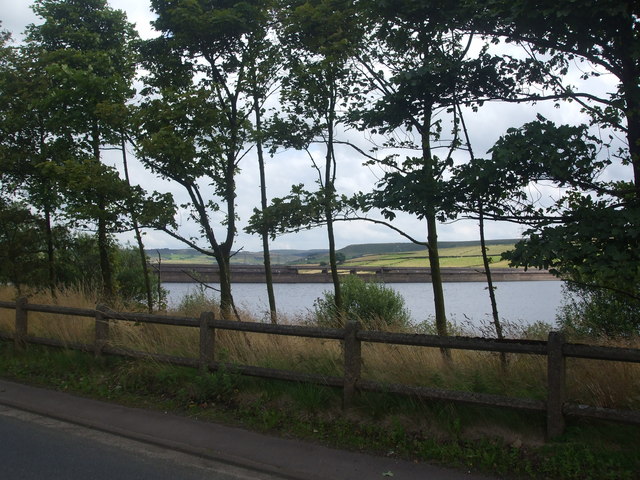
![]() This walk visits these two pretty reservoirs near Rishworth in West Yorkshire. As well as lovely views across the water there are some nice woodland sections and views of the River Ryburn which links the two reservoirs. It's a splendid area with the impressive Ryburn Dam and the attractive countryside and hills of the South Pennines making a great backdrop.
This walk visits these two pretty reservoirs near Rishworth in West Yorkshire. As well as lovely views across the water there are some nice woodland sections and views of the River Ryburn which links the two reservoirs. It's a splendid area with the impressive Ryburn Dam and the attractive countryside and hills of the South Pennines making a great backdrop.
The reservoirs are located close to Ripponden where you can pick up the long distance Calderdale Way to extend your walk. Here you can enjoy more waterside walking along the River Ryburn and the River Calder in Sowerby Bridge.
Just to the south east of Rishworth you will find the lovely Scammonden Reservoir where there is a nice circular footpath around the water. The smaller Deanhead Reservoir lies just to the west as well.
Just to the south is Booth Wood Reservoir where there's some nice footpaths to follow above the water.
Ryburn Reservoir and Baitings Reservoir Ordnance Survey Map  - view and print off detailed OS map
Ryburn Reservoir and Baitings Reservoir Open Street Map  - view and print off detailed map
Ryburn Reservoir and Baitings Reservoir OS Map  - Mobile GPS OS Map with Location tracking
Ryburn Reservoir and Baitings Reservoir Open Street Map  - Mobile GPS Map with Location tracking
Pubs/Cafes
The Booth Wood Inn is located just a mile east of the reservoirs in Rishworth. It's a very good pub which does excellent food and has a good selection of drinks. It's in a good spot in the rural village and has a few tables outside for warmer days. You can find it on Oldham Rd with a postcode of HX6 4QU for your sat navs.
Further Information and Other Local Ideas
The reservoirs are located close to the interesting village of Ripponden. You can reach the site from the village by following a footpath along the River Ryburn on the Ripponden Walk.
Just to the south is the dramatic scenery around March Haigh Reservoir and the fine viewpoint at Buckstones Edge on Marsden Moor.
For more walks in the county see the Yorkshire Walks page.
Cycle Routes and Walking Routes Nearby
Photos
Ryburn Reservoir is the lower of two the reservoirs built to supply Wakefield with water and was completed in 1956.


