Speldhurst Circular Walk
![]()
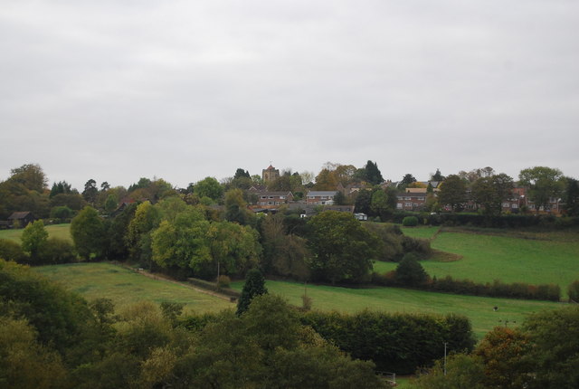
![]() This Kent village is located just north west of Tunbridge Wells. The thriving village is a nice place to start a walk with two major waymarked trails and a noteworthy 13th century pub to visit after your exercise. Local highlights include the 14th century Penshurst Place and Southborough Common which lies just to the east.
This Kent village is located just north west of Tunbridge Wells. The thriving village is a nice place to start a walk with two major waymarked trails and a noteworthy 13th century pub to visit after your exercise. Local highlights include the 14th century Penshurst Place and Southborough Common which lies just to the east.
This circular walk from the village uses part of the Tunbridge Wells Circular Walk to explore the surrounding countryside. On the way you'll visit some local walking highlights including the delightful Groombridge Place and Tunbridge Wells Common.
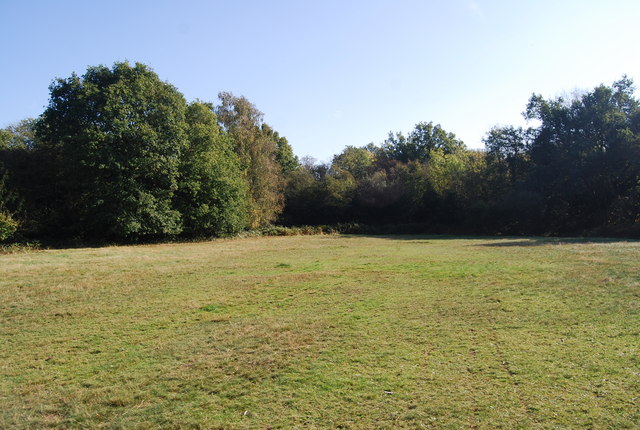
The route starts in the village and heads south east along the waymarked footpath to Rusthall Common and Tunbridge Wells Common, where there are miles of fine walking trails to explore.
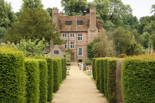
You then head west along the heritage Spa Valley Railway to Friezland Wood, the old High Rocks Halt station, Harness Well Wood and the lovely Groombridge Place Gardens which are well worth exploring. Here you turn north past Langton Green to Bullingstone before turning east to return to Speldhurst.
Speldhurst Ordnance Survey Map  - view and print off detailed OS map
Speldhurst Open Street Map  - view and print off detailed map
Speldhurst OS Map  - Mobile GPS OS Map with Location tracking
Speldhurst Open Street Map  - Mobile GPS Map with Location tracking
Walks near Speldhurst
- Tunbridge Wells Circular Walk - Explore the beautiful countryside around Royal Tunbridge Wells on this circular walk through the High Weald AONB
- Dunorlan Park - This large park in Royal Tunbridge Wells covers nearly 80 acres with some nice walking trails to try
- Eridge Rocks - This fascinating nature reserve in Tunbridge Wells contains a series of large boulders and mixed woodland
- Groombridge Place Gardens - The village of Groombridge is located on the border between Kent and East Sussex
- Tunbridge Wells Common - Explore this large green space on this pleasant walk in Tunbridge Wells
- Pembury - This circular walk around Pembury takes you through some of the woodland to the north of the village before picking up a waymarked trail to explore the countryside
- Lamberhurst - This Kent based village has some nice walking trails through the valley of the River Teise and two noteworthy historic ruins to visit nearby
- Tudeley Woods - This walk explores the Tudeley Woods RSPB Nature Reserve, near the village of Tudeley in Kent.
- Tonbridge - This long circular walk explores the parks, woods, commons, rivers and countryside surrounding the market town of Tonbridge in Kent
- Medway Valley Walk - This is a lovely, easy riverside walk along the River Medway from Tonbridge to Rochester
- Southborough Common - Enjoy woodland trails, heathland and pretty streams in this area of common land near Tunbridge Wells and Tonbridge
- Wealdway - Follow the Wealdway from the River Thames at Gravesend to Eastbourne on the Sussex coast
- Penshurst Place - This 3 mile circular walk takes you around the lovely Penhurst Estate near Tonbridge in Kent
Pubs/Cafes
The George and Dragon is a historic pub of some note. The pub is housed in a building dating back to 1212 which was originally a manor house of some importance. It is thought Kentish Archers were treated to a banquet in the Great Hall on their return from Agincourt in 1415. They serve high quality food which can be enjoyed in the charming interior or outside in the sunny garden. You can find them at postcode TN3 0NN for your sat navs.
Dog Walking
The country and woodland trails surrounding the village are ideal for dog walking. The George and Dragon mentioned above is also dog friendly.


