Stowupland Walks

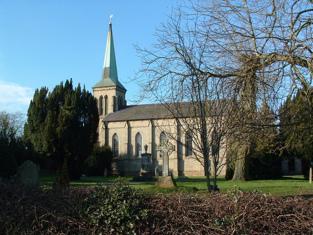
 This Suffolk village lies just to the east of Stowmarket. The village is located close to the source of the River Gipping and includes a notable 14th century pub. It's a pretty place with several village greens having been awarded the Suffolk "Village of the Year" prize in 2006.
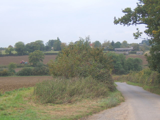
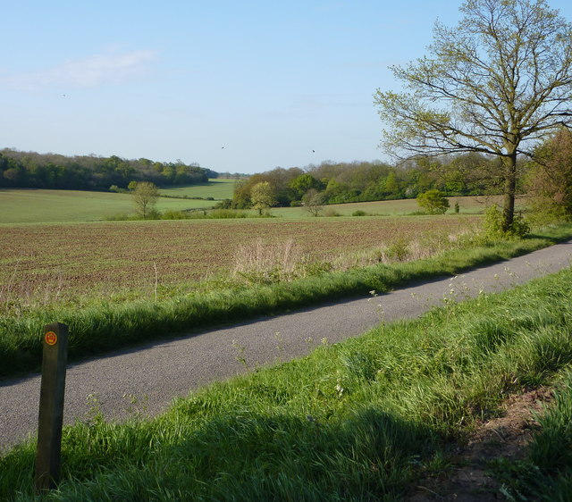
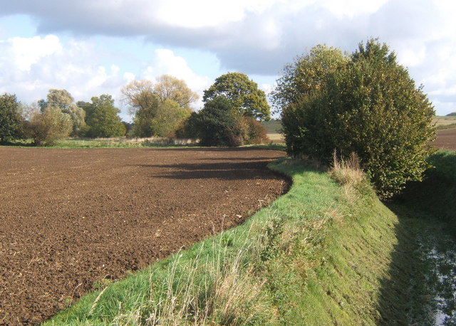
This walk from Stowupland takes you along a section of the Mid Suffolk Footpath to the neighbouring hamlet of Mendlesham Green. The waymarked path will take you through some pleasant countryside with views of the River Gipping to enjoy on the way.
To continue your walking in the area head into Stowmarket and pick up the popular Gipping Valley River Path. The long distance footpath is one of the walking highlights of the area.
Please scroll down for the full list of walks near and around Stowupland. The detailed maps below also show a range of footpaths, bridleways and cycle paths in the area.
Stowupland Ordnance Survey Map  - view and print off detailed OS map
Stowupland Open Street Map  - view and print off detailed map
Stowupland OS Map  - Mobile GPS OS Map with Location tracking
Stowupland Open Street Map  - Mobile GPS Map with Location tracking
Walks near Stowupland
- Stowmarket - Enjoy a walk along the River Gipping on this walk from Stowmarket to Needham Market
- Gipping Valley River Path - Follow the River Gipping from Stowmarket to Ipswich on this pleasant riverside walk
- Mid Suffolk Footpath - This footpath runs from Hoxne to Stowmarket through the Suffolk countryside
- Ipswich - A circular walk around Ipswich with lovely river views and visits to a series of attractive parks
- Bradfield Woods - This National Nature Reserve near Bury St Edmunds is one of the best places in Suffolk for wildlife
- Needham Lake - Enjoy an easy stroll around Needham Lake on this short walk in Needham Market
- Eye - This walk visits the Suffolk market town of Eye
- Coddenham - This walk explores the parkland, countryside and rivers around the Suffolk village of Coddenham
- Thornham Magna - This attractive Suffolk village includes a 14th century church, a fine 15th century pub and wonderful walking trails in the Thornham Hall Estate.
- Haughley Park - The historic Haughley Park is located just west of the Suffolk village of Haughley.
- Mendlesham - This Suffolk village lies a few miles east of Stowmarket and Stowupland.
Pubs/Cafes
The Crown is an historic thatched pub dating to the 14th century. They serve good food and can be found at postcode IP14 4BQ. They have a car park, garden and area also dog friendly.


