GPS Cycle and Walking Routes

Westward Ho to Clovelly Walk

10 miles (16.2 km)

This walk follows a popular section of the South West Coast Path from Westward Ho to Clovelly on the North Devon Coast.
The route runs for just over 10 miles along a cliff top path with some moderate climbs. Along the way there are wonderful views over Barnstaple and Bideford Bay.
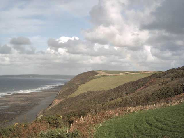
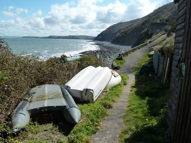
You start off on the front in Westward Ho and head south west along the waymarked footpath to Cornborough Cliff, Abbotsham Cliff, Green Cliff, Cockington Cliff, Westacott Cliff and Higher Rowden. You continue past Peppercombe Castle before coming to the pretty village of Buck's Mills.
The final section takes you past the woods and nature reserves in Buck's Mills before running along the lovely Clovelly Bay and finishing in Clovelly village.

Westward Ho to Clovelly OS Map - Mobile GPS OS Map with Location tracking

Westward Ho to Clovelly Open Street Map - Mobile GPS Map with Location tracking

Photos

Westward Ho^ , Stones, Sand and Coastline - geograph.org.uk - 1490570

Westward Ho!, Stones, Sand and Coastline

Cornborough cliff on a summer's day - geograph.org.uk - 130799

Cornborough cliff on a summer's day

South West Coast Path 2 - geograph.org.uk - 1303765

South West Coast Path 2

South West Coast Path from Abbotsham Cliff - geograph.org.uk - 1441449

South West Coast Path from Abbotsham Cliff

View from above Cockington Cliff - geograph.org.uk - 1442439

View from above Cockington Cliff

Babbacombe Cliff - geograph.org.uk - 74256

Babbacombe Cliff. Taken from Higher Rowden on the South West Coastpath. Babbacombe Cliff is the thorn covered slope in the foreground, with Westacott cliff in the midground. You can also see Saunton Sands Hotel SS4437 in the far left background.

Buck's Mills - geograph.org.uk - 3435971

Castle Bungalow, Peppercombe

Buck's Mills - geograph.org.uk - 3435971

Buck's Mills

Video

GPS Files

GPX File

Westward Ho to Clovelly.gpx (On Desktop:Right Click>'Save As. On Ipad/Iphone:Click and hold>Share>Save to Files')