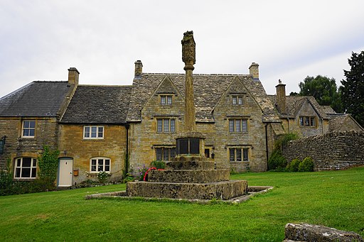
Windrush Way Circular Walk

 This route uses sections of several waymarked walking trails to create a long circular walk through a lovely area of the Cotswolds.
You'll follow sections of the Windrush Way, the Gloucestershire Way, the Warden's Way and the Heart of England Way as you make your way through several of the prettiest villages in the area. The walk takes place on good signed paths and includes riverside paths, woodland trails, hill climbs and picturesque rolling countryside.
The walk starts in the picture postcard village of Bourton on the Water where you can pick up the Windrush Way and follow the path north west to Lower Harford and Aylford where there's the site of a medieval village.
The path continues north west to Hawling and Spoonley Wood before coming to Sudeley Castle just outside Winchcombe.
At Winchcombe you pick up the Gloucestershire Way and follow it east to Fluke's Hill and Haile on the Hill. The route then heads south east to Guiting Wood before coming to the villages of Guiting Power and Naunton where there are some classic old Cotswold stone cottages. The route then follows the Wardens Way to The Slaughters before a final section along the Heart of England Way takes you back into Bourton.
Windrush Way Circular Walk Ordnance Survey Map  - view and print off detailed OS map
Windrush Way Circular Walk Open Street Map  - view and print off detailed map
Windrush Way Circular Walk OS Map  - Mobile GPS OS Map with Location tracking
Windrush Way Circular Walk Open Street Map  - Mobile GPS Map with Location tracking
Further Information and Other Local Ideas
For more walking ideas in the area see the Cotswolds Walks page.


