Wakerley Woods Mtb and Walks
![]()
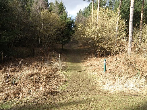
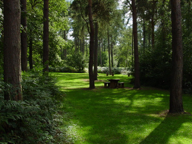
![]() Enjoy several cycling and walking trails in this forest near Corby and Peterborough.
Enjoy several cycling and walking trails in this forest near Corby and Peterborough.
Mountain bikers can have a go on the Scar Tree Trail. This blue graded, single-track ride is three miles in length and starts at the car park.
Walkers can enjoy the 2 mile Deer Park Trail where you will pass two Bronze age burial cairns and hopefully spot a few of the deer that roam through the forest.
The route below is designed for walkers and starts at the car park, taking you through the forest on various trails. Cyclists should please stick to the Scar Tree Trail which you can also pick up at the car park.
If you would like to continue your outing you could head a couple of miles east to Fineshade Woods where you'll find more cycling and walking trails. Fineshade and Wakerley Woods are part of the larger Rockingham Forest which can be explored on the Jurassic Way long distance trail.
Postcode
NN17 3BA - Please note: Postcode may be approximate for some rural locationsWakerley Woods Ordnance Survey Map  - view and print off detailed OS map
Wakerley Woods Open Street Map  - view and print off detailed map
Wakerley Woods OS Map  - Mobile GPS OS Map with Location tracking
Wakerley Woods Open Street Map  - Mobile GPS Map with Location tracking
Pubs/Cafes
Head into nearby Barrowden and you could enjoy some post exercise refreshments at the Exeter Arms. The pub includes 1.5 acres of beautiful landscaped gardens where you can sit outside and enjoy a meal on a fine day. You can find them at 28 Main Street, Barrowden, LE15 8EQ.
Dog Walking
As you'd imagine the woodland trails are ideal for dog walking so you'll probably meet other owners and their pets on your visit.
Further Information and Other Local Ideas
Head north into the village and there are some nice views of the River Welland. The pretty village of Barrowden is also near here and worth exploring with its picturesque mill pond and old cottages.
A few miles further north there's one of the highlights of the area at the expansive Rutland Water. There's lovely waterside cycling and walking trails around this large lake.
To the east there's the wildlife rich Bedford Purlieus National Nature Reserve near Wansford to explore.
Follow the Jurassic Way west and it will take you to the noteworthy Harringworth Welland Viaduct. The Grade II listed viaduct is about a kilometre long, and was completed in 1878. It contains 82 arches and is notable as the longest masonry viaduct across a valley in Britain.
A few miles to the east you'll find the pretty village of King's Cliffe where you can pick up the Kings Cliffe Railway Walk. The easy trail runs along a now disused railway line to the east of the village. King's Cliffe is also a pleasant place for a stroll with a Norman church, picturesque 17th century almshouses and nice views of the Willow Brook, a tributary of the River Nene. There's also a fine old 18th century pub for refreshments afterwards. Near here there's also Blatherwycke Lake to explore. There's some lovely waterside trails with lots of birdlife to see on the water at this scenic spot.
For more walking ideas in the area see the Northamptonshire Walks page.


