Marley Common
![]()
![]() This large green space in Haslemere is great for a peaceful stroll in lovely surroundings. The common has miles of good footpaths taking you to heathland, woodland and meadows. Look out for the pretty purple heather in the summer months and the yellow flowering gorse all year round. It's great for wildlife too with woodlarks, warblers and various reptiles. You can park at the car park off Marley Lane and pick up the trails from there.
This large green space in Haslemere is great for a peaceful stroll in lovely surroundings. The common has miles of good footpaths taking you to heathland, woodland and meadows. Look out for the pretty purple heather in the summer months and the yellow flowering gorse all year round. It's great for wildlife too with woodlarks, warblers and various reptiles. You can park at the car park off Marley Lane and pick up the trails from there.
It's easy to extend your walk as two long distance paths pass through the common. You can follow the Sussex Border Path and the Serpent Trail east and visit the wonderful Black Down. It's the highest point on the South Downs and commands fabulous views over the Weald. Our Haslemere Circular Walk which starts from the train station visits both Marley Common and Black Down.
Heading west along the border path will take you towards Liphook and Stanley Common.
Also of interest are two more National Trust commons just to the north west of Marley Common. Ludshott Common and Bramshott Common have miles of good walking trails and the attractive Waggoners Wells ponds to enjoy.
Postcode
GU27 3PU - Please note: Postcode may be approximate for some rural locationsMarley Common Ordnance Survey Map  - view and print off detailed OS map
Marley Common Open Street Map  - view and print off detailed map
Marley Common OS Map  - Mobile GPS OS Map with Location tracking
Marley Common Open Street Map  - Mobile GPS Map with Location tracking
Explore the Area with Google Street View 
Pubs/Cafes
Head south into nearby Fernhurst and there's the noteworthy Red Lion to visit. Nestled by the village green, the historic inn has served as a pub since 1592. The interior features a single bar under a low, timbered ceiling, complemented by two cosy side rooms and a magnificent inglenook fireplace, complete with a sizeable wood-burning stove. On pleasant days, patrons can enjoy seating that overlooks the village green at the front, or opt for the spacious rear garden, which includes a covered, heated, and lit shelter for smokers. The pub enjoys popularity among both local residents and those who come specifically to dine. They are located at postcode GU27 3HY and the pub is dog friendly.
Dog Walking
The common is a fine place for a dog walk with miles of woodland trails to explore. You'll probably meet with other owners on your outing.
Further Information and Other Local Ideas
Just south of Black Down there's the worthy village of Lurgashall to explore. The picturesque settlement includes a pretty village green, a quintessentially English cricket pitch, a millpond, a historic Saxon church and a number of historic timber framed properties to admire.
Cycle Routes and Walking Routes Nearby
Photos
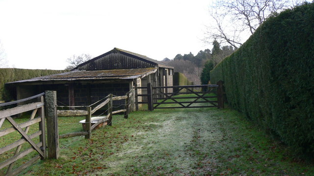
Private track on Marley Common. The common is part of the Lynchmere Commons along with Stanley and Lynchmere Common.


