Mortimer Trail with OS Map and GPX
![]()
![]() This exceptionally lovely walk takes you through the beautiful Shropshire and Herefordshire countryside, from Ludlow to Kington.
This exceptionally lovely walk takes you through the beautiful Shropshire and Herefordshire countryside, from Ludlow to Kington.
The walk begins at the splendid, medieval Ludlow Castle in Shropshire and heads towards Aymestrey, crossing the River Teme before passing through Mortimer Forest, Haye Park Wood and Deer Park. This section passes the excellent viewpoint at High Vinnalls and visits the British Iron Age hill fort at Croft Ambrey, where there are more fabulous views of the Herefordshire countryside. You can also explore the beautiful gardens surrounding the historic Croft Castle here.
The Climbing Jack Trail is a circular walk through the forest which climbs to High Vinnalls.
At Aymestrey you join the River Lugg for a delightful waterside stretch that leads to Shobdon Hill Wood. The path continues to Byton and then onto Wapley Hill Fort, with the final stretch taking you to the finish point at Kington.
This is a challenging walk with several steep climbs but with the reward of spectacular views of the area.
Mortimer Trail Ordnance Survey Map  - view and print off detailed OS map
Mortimer Trail Open Street Map  - view and print off detailed map
*New* - Walks and Cycle Routes Near Me Map - Waymarked Routes and Mountain Bike Trails>>
Mortimer Trail OS Map  - Mobile GPS OS Map with Location tracking
Mortimer Trail Open Street Map  - Mobile GPS Map with Location tracking
Pubs/Cafes
In Ludlow at one end of the walk there's The Wheatsheaf Inn to consider. The historic inn dates from the 17th century and sits in a fine location adjacent to the 13th century Broadgate. There's a charming olde worlde interior with 2 cosy fireplaces and original 17th-century stone and timber accents. They do great home cooked food and have a fine selection of ales too. You can find them at Lower Broad St, with a postcode of SY8 1PQ for your sat navs. The pub is also dog friendly if you have your canine friend with you.
In Aymestrey there's the 16th century Riverside Inn. The historic pub is a fine place to stop at with a lovely riverside garden to relax in. See the circular Aymestrey Riverside Inn Walk for more details.
Further Information and Other Local Ideas
Just to the south of Shobdon Hill Wood you'll pass the pretty village of Shobdon which is worth a small detour from the route. The picturesque village includes the grounds of the 18th century Shobdon Court with a number of pretty pools to see. There's also the historic Bateman Arms pub which dates from 1750.
At the north western end of the forest you will find Bringewood. Here you can access a number of decent red and black mountain bike trails which have been used for the National Championships. The Vinnalls car park off Kilnhorse Lane provides access to the trails.
For more walking ideas in the area see the Herefordshire Walks and the Shropshire Walks pages.
Cycle Routes and Walking Routes Nearby
Photos
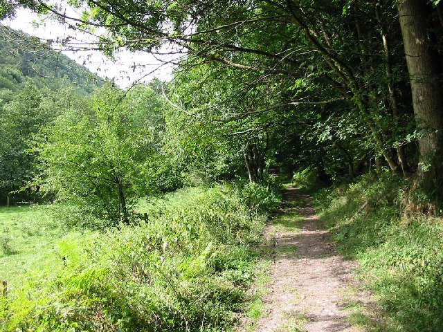
Descending the Mortimer Trail near High Vinnals. In the background you can see Titterstone Clee Hill
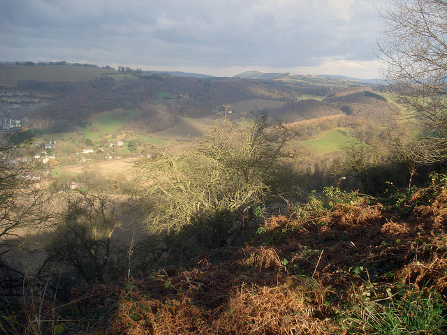
Croft Ambrey hillside. North-east view over the hills south of Ludlow. The north side of the hill fort is very steep and leads down to the small valley around Leinthall Earls, the village on the left. Just beyond is the large active quarry, which produces building and road stone from the Silurian Limestone hillside.
Elevation Profile


