St Michaels Way
![]()
![]() This fabulous walk runs from Lelant on the north coast of Cornwall to Marazion and the iconic St Michael's mount on the south coast. It's just over 12 miles with some moderate climbs on the way.
This fabulous walk runs from Lelant on the north coast of Cornwall to Marazion and the iconic St Michael's mount on the south coast. It's just over 12 miles with some moderate climbs on the way.
You start in Lelant near St Ives, and head along the coast to Carbis Bay passing the beautiful Porth Kidney Sands on the way.
The route then heads inland through the delightful Cornish countryside to Trencrom Hill where you can enjoy wonderful views of the surrounding areas.
After passing Ludgvan you will soon arrive at the south coast near Penzance where the path turns east, taking you along the coast to the finish point in Marazion. Here you can visit the splendid St Michael's Mount or just enjoy the wonderful views from the coast.
At the end of the route in Lelant you can visit the splendid Hayle Estuary RSPB reserves with thousands of wading birds to lookout for.
For more information on this walk please click here.
St Michaels Way Ordnance Survey Map  - view and print off detailed OS map
St Michaels Way Open Street Map  - view and print off detailed map
*New* - Walks and Cycle Routes Near Me Map - Waymarked Routes and Mountain Bike Trails>>
St Michaels Way OS Map  - Mobile GPS OS Map with Location tracking
St Michaels Way Open Street Map  - Mobile GPS Map with Location tracking
Pubs/Cafes
At the end of the route enjoy some refreshments in the National Trust's Sail Loft Cafe. It's set in the island’s old sail loft on the fringe of the village and serves a fine range of meals and snacks. You can visit the Sail Loft or Island Café regardless of whether you pay to visit the castle.
In Penzance there's the ancient Turks Head to consider. Here you can step back in time as you enjoy a drink in the place which Pirates and Smugglers once frequented some 750 years ago. It's the oldest pub in the town and includes an interior with real fires, wooden pews and a smugglers' tunnel. There's also a nice outdoor area for warmer days. You can find them at 49 Chapel St with a postcode of TR18 4AF for your sat navs.
Further Information and Other Local Ideas
For more walking ideas in the area see the Cornwall Walks page.
Cycle Routes and Walking Routes Nearby
Photos
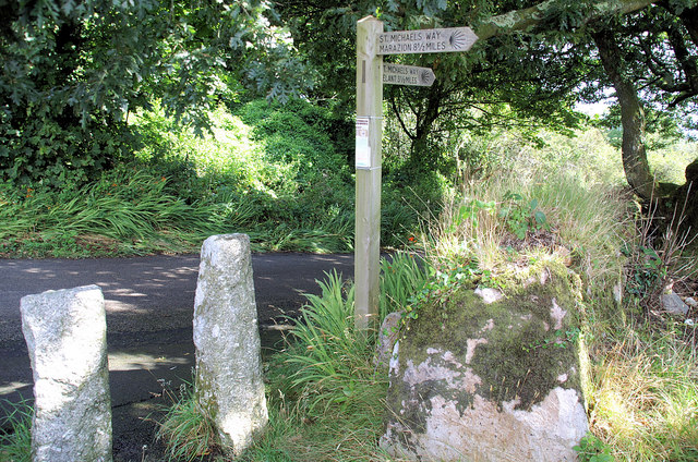
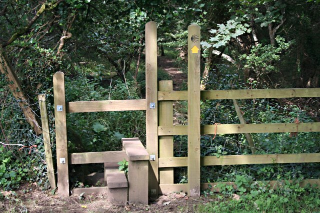
As a pilgrims way this footpath is marked with a scallop shell logo seen here just above the yellow arrow.
St. Michael's Mount. This tidal island sits in Mount's Bay in Marazion. It's linked to the town by a man-made causeway which you can walk across at low tide. It is managed by the National Trust, and the castle and chapel have been the home of the St Aubyn family since approximately 1650. It was given to the Benedictine religious order of Mont Saint-Michel by Edward the Confessor in the 11th century. The site was was a destination for pilgrims, whose devotions were encouraged by an indulgence granted by Pope Gregory in the 11th century. The earliest buildings on the summit, including a castle, date to the 12th century.
Elevation Profile


