Burnham to Weston
9.3 miles (15 km)
![]()
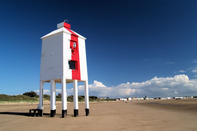
![]() Follow National Cycle Route 33 from Burnham on Sea to Weston-Super-Mare on this lovely coastal ride. The route runs along the beach to Brean before following the River Axe into Weston. It's about a 9 mile ride on fairly flat, mostly traffic free paths.
Follow National Cycle Route 33 from Burnham on Sea to Weston-Super-Mare on this lovely coastal ride. The route runs along the beach to Brean before following the River Axe into Weston. It's about a 9 mile ride on fairly flat, mostly traffic free paths.
Highlights on the route include the lovely views of Berrow Sands and dunes. There's also nice views of the Mendip Hills, Brean Down and the River Axe to enjoy.
To extend the ride try the Weston to Brean Cycle Route. The route is also known as the Brean Down Way and was opened in 2017. It will take you up onto the lovely Brean Down where you can enjoy fine views over the area.


