Mendip Hills Cycle Route

 This long circular route uses signed Sustrans cycle routes to explore the Mendip Hills AONB in Somerset.
You'll follow country lanes along National Cycle Route 1, National Cycle Route 26 and National Cycle Route 3 as you make your way through this lovely area.
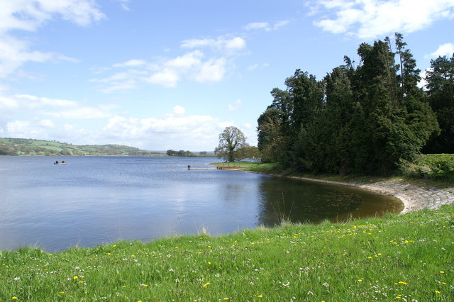
Route highlights include the traffic free section along the expansive Chew Valley Lake at the northern end of the ride. Near here there's also a visit to Blagdon Lake before following a bridle path past the viewpoint at Beacon Batch to Cheddar Reservoir where you'll find another off road section of the National Cycle Network.
The route also passes very close to the Ebbor Gorge and the famous Cheddar Gorge where there are some wonderful rock formations and spectacular views.
The route starts and ends in the cathedral city of Wells, though as a circular ride you could start anywhere along the route. It runs for about 36 miles with some moderate climbs on the way. As such it could be completed in a day.
Cycle Routes in the Mendip Hills
- Glastonbury to Cheddar - This route starts in Glastonbury and follows National Cycle route 3 to Cheddar via the cathedral city of Wells
- Bridgwater to Bristol - This is a long but largely flat ride through some beautiful countryside following National Cycle Route 3 from Bridgwater to the busy city of Bristol
- Bath to Frome - Travel to the eastern tip of the Mendip Hills on National Cycle routes 4, 24 and 48
- Burnham to Weston - Follow National Cycle Route 33 from Burnham on Sea to Weston-Super-Mare on this lovely coastal ride
- Rowberrow Warren - Enjoy miles of mountain bike trails and walking trails in these woods near Cheddar
- Strawberry Line (Yatton to Cheddar) - This splendid walk and cycle path runs along a former railway line that used to transport strawberries from Cheddar.
You start by Yatton railway station and head south passing Congresbury and Axbridge before finishing in Cheddar


