Chasewater Country Park
![]()
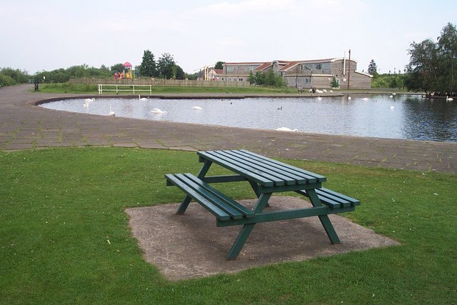
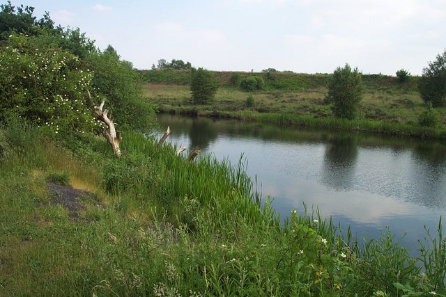
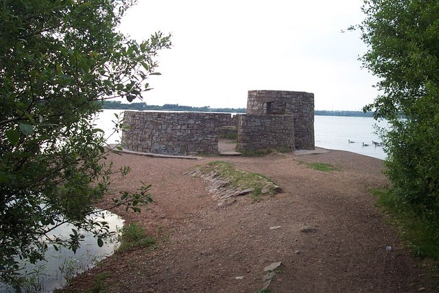
![]() Enjoy a lovely waterside walk or cycle around Chasewater in Burntwood, near Lichfield. The park is nearly 900 acres in size with over 200 acres of water. A cycling and walking path runs right around the perimeter of the large lake. There is also a steam railway, bird hides and a visitor centre.
Enjoy a lovely waterside walk or cycle around Chasewater in Burntwood, near Lichfield. The park is nearly 900 acres in size with over 200 acres of water. A cycling and walking path runs right around the perimeter of the large lake. There is also a steam railway, bird hides and a visitor centre.
For those wishing to continue their exercise the Beacon Way links to the park.
For cyclists there's National Cycle Route 5 running through the area as well.
The park is great for wildlife too with deer often spotted around the lake.
Postcode
WS8 7NL - Please note: Postcode may be approximate for some rural locationsPlease click here for more information
Chasewater Country Park Ordnance Survey Map  - view and print off detailed OS map
Chasewater Country Park Open Street Map  - view and print off detailed map
Chasewater Country Park OS Map  - Mobile GPS OS Map with Location tracking
Chasewater Country Park Open Street Map  - Mobile GPS Map with Location tracking
Pubs/Cafes
There are a few cafes dotted around the site where you can enjoy rest and refreshment after your exercise. The South Shore café is located within Chasewater Innovation Centre near the start/finish of the route.
Dog Walking
The park is popular with dog walkers so you will probably see other owners on your visit.
Further Information and Other Local Ideas
One nice idea in the Walsall area is to pick up the Beacon Way and enjoy a climb to Barr Beacon. The beacon is one of the highlights of the Black Country and a high point of the Birmingham city area. On the summit there is a distinctive domed war memorial and excellent views over the city and beyond.
Just to the south you can enjoy more waterside trails along the Wyrley and Essington Canal. The canal winds its way pleasantly through Wolverhampton and Walsall, visiting Pelsall Common Nature Reserve, Park Lime Pits and Rough Wood Country Park on the way.
For more walking ideas in the area see the West Midlands Walks page.
Cycle Routes and Walking Routes Nearby
Photos
Brakevan ride. Approaching Norton Lakeside Halt. Teddy is in front - It is a Peckett of Bristol 'Yorktown' class 0-4-0ST No. 2012 of 1941 and used at the Royal Ordnance factory at Creakmoor, Dorset. It was for a time with the late Reverend Teddy Boston at Cadeby and is now privately owned and on hire to the National Railway Museum where it gives rides. It was visiting Chasewater for the winter gala. At the rear is Colin McAndrew built by Andrew Barclay of Kilmarnock as No. 1223 of 1911. It was built for contractor Colin McAndrew then later used by N Greening at its wireworks in Warrington. It was acquired for preservation in 1966.


