Biddestone Walks

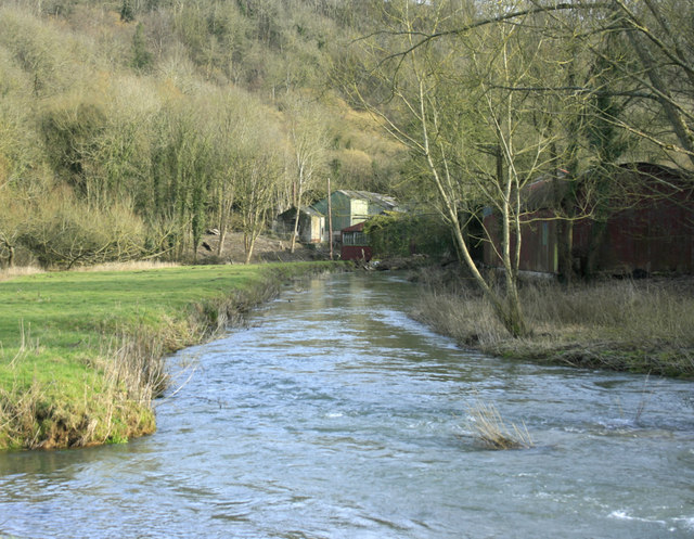
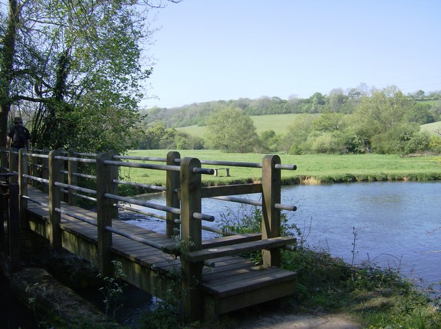
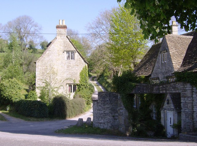
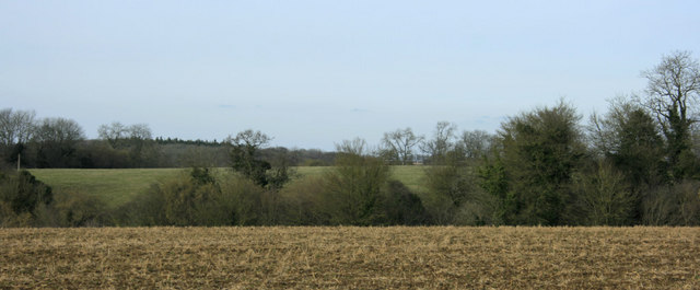
 This pretty village is located in a pleasant rural location in north west Wiltshire. There's some riverside trails along the Bybrook River and nice countryside paths through the eastern section of the Cotswolds Area of Outstanding Natural Beauty. The quaint settlement includes some picturesque old cottages and a village pond too.
This circular walk from the village visits the neighbouring villages of Slaughterford and Ford.
The walk starts in the village and follows Ham Lane west to link up with the Macmillan Way just south of Slaughterford. You can follow the waymarked footpath north through Slaughterford to Ford, passing Common Hill on the way. In Slaughterford there's a lovely old bridge over the river to see.
You continue north east along the Bybrook River to Long Dean and Chapel Wood. The route then picks up another country lane and heads south past West Yatton adn Giddeahall before returning to Slaughterford.
Postcode
SN14 7DG - Please note: Postcode may be approximate for some rural locationsBiddestone Ordnance Survey Map  - view and print off detailed OS map
Biddestone Open Street Map  - view and print off detailed map
Biddestone OS Map  - Mobile GPS OS Map with Location tracking
Biddestone Open Street Map  - Mobile GPS Map with Location tracking
Walks near Biddestone
- Corsham Court - Follow footpaths across Corsham Park on this walk near Chippenham
- Castle Combe - Enjoy a short circular walk around this delightful Cotswolds village
- Macmillan Way - This epic long distance path links Boston in Lincolnshire to Abbotsbury in Dorset
- Badminton House and Estate - Enjoy a walk through the Duke of Beaufort's estate on this easy circular walk in the Cotswolds
- Lacock Abbey and Village - Explore the picturesque streets and historic buildings of Lacock Village before a visit to the beautiful Lacock Abbey set within its own delightful woodland grounds.
- Bowood House - This Georgian country house is located on the edge of the North Wessex Downs, near the Wiltshire town of Calne
- Chippenham to Calne Railway Path - This is a nice easy cycle or walk along the disused railway path from Chippenham to Calne
- Chippenham to Lacock Walk - A walk from Chippenham, through the countryside to the lovely Lacock Abbey and Village
- Box - This Wiltshire based village is located close to Corsham and Bath in a nice rural part of the county. There's some nice waterside walking along the By Brook and a significant waymarked trail running through the area
Pubs/Cafes
Back in the village The White Horse is a nice place for post walk refreshments. They have a good menu and a lovely outdoor area with views over the village. You can find them on the Green at postcode SN14 7DG for your sat navs.
Dog Walking
The country trails make for a fine dog walk and the White Horse mentioned above is also dog friendly.
Further Information and Other Local Ideas
Head north and you could extend the walk by visiting Castle Combe. It's a picture postcard Cotswolds village with thatched cottages, a beautiful church with a medieval clock and traditional country pubs.
To the south there's the splendid Corsham Court with its beautiful grounds, gardens and lake to see.
Just to the south is the delightful village of Box. The village includes nice trails along the By Brook and the famous Box railway tunnel created by Isambard Kingdom Brunel in the early 19th century. Near here there's also Colerne where there's nearly 90 historic listed buildings including a 13th century church and a noteworthy 17th century stone pub.
For more walking ideas in the area see the Cotswolds Walks and Wiltshire Walks pages.


