Colerne Walks

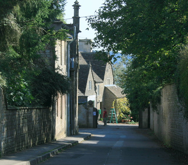
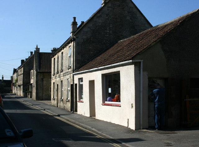
 This pretty village is located in North Wiltshire, close to the city of Bath. There's some quaint cottages and nice footpaths taking you towards the Cotswolds countryside. There's also a 13th century church, a 17th century manor house and a decent 17th century pub to relax in after your exercise. All in all there are nearly 90 historic listed buildings in the village, an unusually high amount.
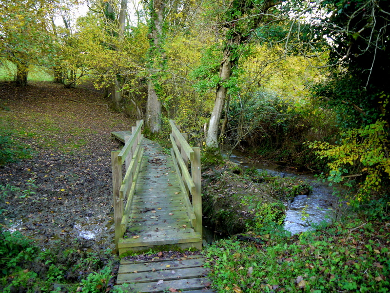
This circular walk from Colerne takes you south to visit the neighbouring village of Box where you can enjoy a walk along the pretty By Brook.
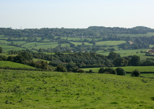
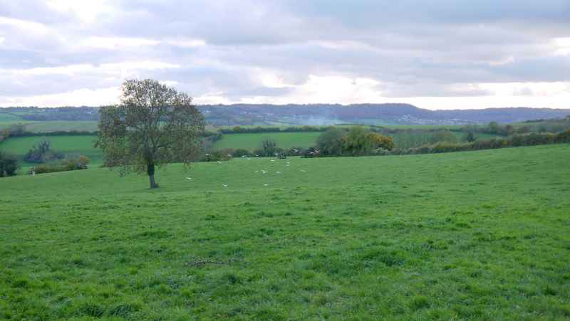
Along the way you will pass along quiet country lanes with some fine views of the surrounding lush countryside of the Cotswolds. The southern end of the route uses a section of the Macmillan Way. This waymarked long distance trail is a good way of further exploring the surrounding area on foot.
Postcode
SN14 8DD - Please note: Postcode may be approximate for some rural locationsColerne Ordnance Survey Map  - view and print off detailed OS map
Colerne Open Street Map  - view and print off detailed map
Colerne OS Map  - Mobile GPS OS Map with Location tracking
Colerne Open Street Map  - Mobile GPS Map with Location tracking
Walks near Colerne
- Box - This Wiltshire based village is located close to Corsham and Bath in a nice rural part of the county. There's some nice waterside walking along the By Brook and a significant waymarked trail running through the area
- Biddestone - This pretty village is located in a pleasant rural location in north west Wiltshire
- Castle Combe - Enjoy a short circular walk around this delightful Cotswolds village
- Corsham Court - Follow footpaths across Corsham Park on this walk near Chippenham
- Macmillan Way - This epic long distance path links Boston in Lincolnshire to Abbotsbury in Dorset
- Badminton House and Estate - Enjoy a walk through the Duke of Beaufort's estate on this easy circular walk in the Cotswolds
- Lacock Abbey and Village - Explore the picturesque streets and historic buildings of Lacock Village before a visit to the beautiful Lacock Abbey set within its own delightful woodland grounds.
- Bowood House - This Georgian country house is located on the edge of the North Wessex Downs, near the Wiltshire town of Calne
- Chippenham to Calne Railway Path - This is a nice easy cycle or walk along the disused railway path from Chippenham to Calne
- Chippenham to Lacock Walk - A walk from Chippenham, through the countryside to the lovely Lacock Abbey and Village
- Holt Wiltshire - This worthy Wiltshire village is located close to Bradford on Avon, Trowbridge Park and Melksham in an attractive part of the county
- Bath Canal Walk - This is a popular walk along the Kennet and Avon Canal from Bath to Bradford on Avon
- Bath Skyline Walk - Enjoy wonderful views of the city of Bath on this popular circular walk
- Heaven's Gate Longleat - Enjoy wonderful views over the Longleat Estate and the surrounding Wiltshire countryside on this short walk near Warminster
- Fosse Way - This walk takes you along a section of the Fosse Way in Somerset
Pubs/Cafes
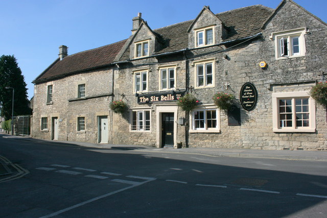
The Six Bells Inn is a traditional Cotswold Stone pub dating back over 400 years. There's a cosy interior with log burners and a splendid large garden area outside. Here you can enjoy food freshly cooked in a log fired oven or on a grill. You can find them on the High Street with postcode SN14 8DD for your sat navs. The pub is also dog friendly.
