Blackdown Rings
![]()
![]() This walk visits an ancient Iron Age Hillfort and viewpoint in South Devon near Loddiswell.
This walk visits an ancient Iron Age Hillfort and viewpoint in South Devon near Loddiswell.
As well as its archeological significance the hill fort commands fine views over the area from its 185 metres (607 ft) high summit.
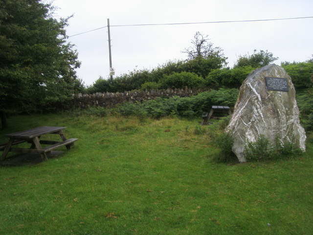
You can start the walk from the reasonably sized public car park off a country lane just south west of the site. From here you can follow footpaths north east up to the hill top. The area includes some picnic benches where you can relax and enjoy lunch with a view.
Flora and fauna are also in abundance with pretty bluebells in the spring and buzzards to look out for overhead.
You could extend the walk by heading west and visiting the Andrew's Wood Nature Reserve. It's only about 15 minute walk from the car park and has some nice woodland and heathland trails to try.
Postcode
TQ7 4EA - Please note: Postcode may be approximate for some rural locationsBlackdown Rings Ordnance Survey Map  - view and print off detailed OS map
Blackdown Rings Open Street Map  - view and print off detailed map
Blackdown Rings OS Map  - Mobile GPS OS Map with Location tracking
Blackdown Rings Open Street Map  - Mobile GPS Map with Location tracking
Further Information and Other Local Ideas
Head south and you enjoy some pleasant waterside paths along the River Avon and through Woodleigh Wood in Loddiswell.
In nearby Aveton Gifford you can enjoy some lovely trails along the Avon Estuary Walk.
For more walking ideas in the area see the Devon Walks page.
Cycle Routes and Walking Routes Nearby
Photos
Looking along the northern section of the Iron Age rampart towards the Norman motte and bailey area in the northwest corner.
Photo taken from the Norman motte, with the bailey and, to the right, the Iron Age bank within which it was built.
Andrew's Wood Nature Reserve- this reserve is very close to the hill and a nice place to continue your walk. This open area is in the western part of the reserve


