Bolam Lake Walk
![]()
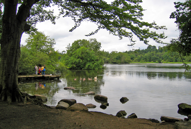
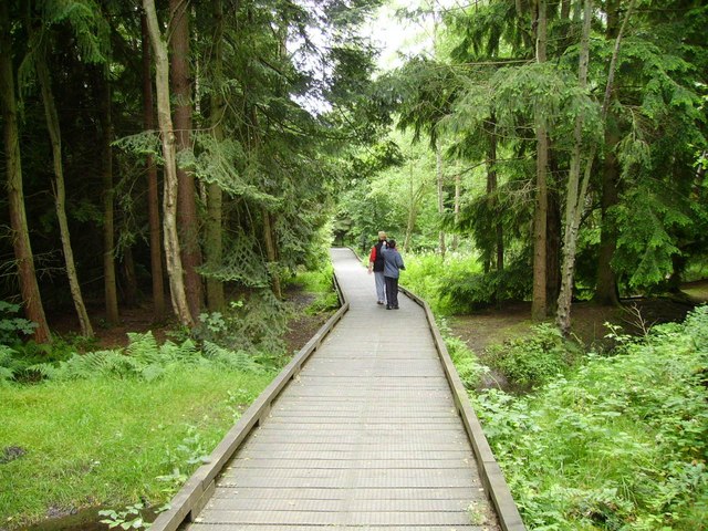
![]() Enjoy peaceful lakeside walking and cycling in this delightful country park in Northumberland. Bolam lake is located less than 10 miles from Morpeth in the heart of the Northumberland countryside. There are woodland paths, grassland and a super visitor centre with cafe, shop and information area. Cyclists please keep to the marked bridleway and give way to walkers.
Enjoy peaceful lakeside walking and cycling in this delightful country park in Northumberland. Bolam lake is located less than 10 miles from Morpeth in the heart of the Northumberland countryside. There are woodland paths, grassland and a super visitor centre with cafe, shop and information area. Cyclists please keep to the marked bridleway and give way to walkers.
If you would like to continue your walking in the area then you could head a few miles north to Hartburn Glebe where there are peaceful woodland trails, a pretty river and a variety of wildlife to look out for. Another good option is to climb to the nearby Shaftoe Crags. The crags are located just a mile west of the park and include interesting rock formations and wonderful views over the Northumberland countryside. A short distance to the north west of the crags you will find the National Trust's Wallington Hall where there's lakes, woodland, parkland and a beautiful walled garden.
You can also pick up the circular Wannie Line Walk along the old railway lines here.
Postcode
NE20 0HE - Please note: Postcode may be approximate for some rural locationsBolam Lake Country Park Ordnance Survey Map  - view and print off detailed OS map
Bolam Lake Country Park Open Street Map  - view and print off detailed map
Bolam Lake Country Park OS Map  - Mobile GPS OS Map with Location tracking
Bolam Lake Country Park Open Street Map  - Mobile GPS Map with Location tracking
Explore the Area with Google Street View 
Pubs/Cafes
Head to the Bolam Lake Cafe for some refreshments after your exercise. It is situated next to the Boathouse Wood Car Park, to the north of the lake.
Another good option is to head north west from the lake to the village of Middleton. Here you can visit the popular Ox Inn which has a good menu and an outdoor seating area for fine days. You can find it in the village with a postcode of NE61 4QZ for your sat navs.
Dog Walking
The lakeside path is a great place for a dog walk and you will probably see several other owners on your visit. There's also some nice woodland trails which are ideal for exploring with your four legged friend. The Bolam Lake cafe mentioned above is also dog friendly.


