Crickhowell Canal Walk
![]()
![]() A waterside walk along the Monmouthshire and Brecon Canal from Crickhowell to Llangynidr.
A waterside walk along the Monmouthshire and Brecon Canal from Crickhowell to Llangynidr.
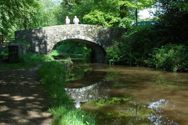
The route runs for about 5.5 miles along the towpath with a shady section at the start before nice views over the surrounding hills and countryside as you approach Llangynidr.
The walk starts in the centre of Crickhowell and crosses the River Usk before following country lanes to the canal at the village of Llangattock. You then head north west past Dandy and Glanusk Park on a tree lined section of the canal. The route finishes at the village of Llangynidr where there's five locks and an aqueduct nearby. There's also a Grade I listed stone bridge over the River Usk which dates from 1700.
If you continue west along the canal you will soon come to Talybont Reservoir. There's some lovely trails around the water and throug Talybont Forest to enjoy here.
To continue your walking in the town try the Crickhowell River Walk which takes you along the River Usk. You could also enjoy a climb to Table Mountain and Pen Cerrig Calch on the epic Cambrian Way.
Crickhowell Canal Walk Ordnance Survey Map  - view and print off detailed OS map
Crickhowell Canal Walk Open Street Map  - view and print off detailed map
Crickhowell Canal Walk OS Map  - Mobile GPS OS Map with Location tracking
Crickhowell Canal Walk Open Street Map  - Mobile GPS Map with Location tracking
Pubs/Cafes
In Llangynidr head to the Coach and Horses for a pit stop. This fine old coaching inn has an appealing interior with old beams, oak panelling and flagstone floors. Outside there's a peaceful garden overlooking the canal with stunning views over the local countryside. It's a great place to relax on a summer day after your exercise. You can find them on Cwm Crawnon Road with a postcode of NP8 1LS.
Dog Walking
The canal path make for a fine dog walk and the Coach and Horses mentioned above is also dog friendly.
Further Information and Other Local Ideas
One good option is to head south along the canal and visit the beautiful Clydach Gorge. This steep-sided valley is where the River Clydach flows to the River Usk. There's lovely river and woodland trails here with pretty waterfalls and lots of wildlife to see. Near here there's the pretty Gilwern Wharf where there's some lovely scenery and a fine canalside pub.
Head to the other side of the river and you can pick up the Llangattock Escarpment Walk. There's some interesting geology and wonderful views from the elevated position of the escarpment. Here you can also explore the Craig y Cilau National Nature Reserve with its wonderful limestone scenery and rare plantlife.
The epic Cambrian Way passes through the town. The long distance waymarked route starts from the city of Cardiff and runs for nearly 300 miles through the Brecon Beacons, the Cambrian Mountains and Snowdonia before finishing on the North Wales coast at Conwy.
For more walking ideas in the area see the Brecon Beacons Walks pages.


