Llangattock Walks
![]()
![]() This pretty village lies in a lovely spot within the Black Mountains, the Brecon Beacons and the Usk Valley. Walking highlights include the Brecon canal towpaths and the great limestone cliffs of the Llangattock Escarpment.
This pretty village lies in a lovely spot within the Black Mountains, the Brecon Beacons and the Usk Valley. Walking highlights include the Brecon canal towpaths and the great limestone cliffs of the Llangattock Escarpment.
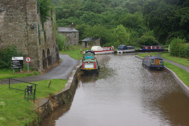
This circular walk from the village climbs to the escarpment and its associated quarries to the south of the settlement. It's a varied walk with woodland, canalside paths and steep climbs to a wonderful viewpoint above the village.
The walk starts in the village and heads south west along country lanes and public footpaths. You'll cross the Nant Onneu river before climbing to the escarpment where there are some fabulous views over the countryside and hills of the Usk Valley. At the summit there's also ancient cairns, old cave's and rare wild flowers.
Paths will then take you west past the quarries before turning north to Waun Ddu and Cwm Onnau. Here you turn east through the forested area of Coed y Cilau before picking up the Monmouthshire and Brecon Canal to take you back to Llangattock.
At the western end of the route you can extend the walk by exploring the Craig y Cilau National Nature Reserve. The reserve includes some interesting rare plantlife, murky caves and wonderful limestone scenery.
Postcode
NP8 1PA - Please note: Postcode may be approximate for some rural locationsLlangattock Ordnance Survey Map  - view and print off detailed OS map
Llangattock Open Street Map  - view and print off detailed map
Llangattock OS Map  - Mobile GPS OS Map with Location tracking
Llangattock Open Street Map  - Mobile GPS Map with Location tracking
Pubs/Cafes
Back in the village head to the Horse Shoe Inn for some post walk refreshment. They serve good quality food and can be found near the canal at 3 Plas Cottages, NP8 1PA.
Dog Walking
The forest and climbs are good for fit dogs and the Horse Shoe Inn mentioned above is also dog friendly.
Further Information and Other Local Ideas
The village is located just across the river from Crickhowell where you can pick up the Crickhowell River Walk along the Usk. Here you can also visit the 12th century Crickhowell Castle and see the 18th century bridge over the river.
To the south you'll find the splendid Clydach Gorge. The scenic steep-sided valley is where the River Clydach flows to the River Usk. Near here there's also the pretty Gilwern Wharf where there's some lovely scenery and a fine canalside pub.
The epic Cambrian Way passes through the settlement. The long distance waymarked route starts from the city of Cardiff and runs for nearly 300 miles through the Brecon Beacons, the Cambrian Mountains and Snowdonia before finishing on the North Wales coast at Conwy.
For more walking ideas in the area see the Black Mountains Walks and the Brecon Beacons Walks pages.
Cycle Routes and Walking Routes Nearby
Photos
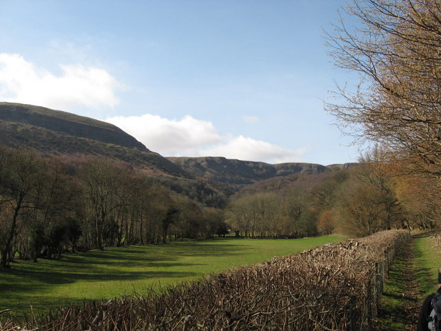
View towards Craig y Cilau. The great natural amphitheatre formed by the cliffs of Craig y Cilau and the quarried Daren Cilau was designated a national nature reserve on account of a variety of rare plants, notably species of whitebeam endemic to the area. The hollow itself is thought to be a product of both glacial action and a massive rotational landslip during the ice ages.
Llangattock Escarpment. Travelling east above the edge of a small quarry beside the Beaufort road and rounding a bend to the southeast gives this spectacular view along the larger run of quarries.
Roadside at Darren. The twisting minor road at Darren above Llangattock affords views towards the Llangattock escarpment. Much of the adjacent land is open country, so freely accessible to those on foot. The original limestone cliffs have been heavily scarred by quarrying although this has long ceased.
Agen Allwedd Cave. This is the entrance to Agen Allwedd cave on the Escarpment. The cave is 37.5 km in length and is kept locked for safety reasons, with access by permit only.


