Hethpool Linn
![]()
![]() This walk in Northumberland visits the Hethpool Linn waterfall before a climb to the hillfort at West Hill. The falls are located in the College Valley, a beautiful and peaceful area with lots of interesting flora and fauna.
This walk in Northumberland visits the Hethpool Linn waterfall before a climb to the hillfort at West Hill. The falls are located in the College Valley, a beautiful and peaceful area with lots of interesting flora and fauna.
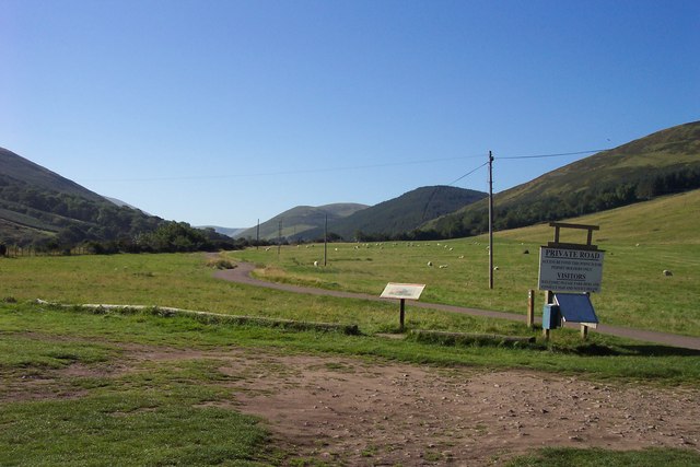
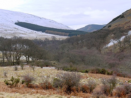
The walk starts at the car park at Hethpool and heads along the College Burn to the waterfall. The route then heads north east to West Hill which includes an old hill fort on its 215 metre high summit. There's lovely views of the countryside and hills of the College Valley from here.
After rounding the hill you can pick up a section of the St Cuthbert's Way and follow it west to Hethpool Mill before returning to the car park.
You could extend the walk by continuing east to climb to Yeavering Bell. The noteworthy site includes the largest Iron Age hillfort in the region.
Postcode
NE71 6TW - Please note: Postcode may be approximate for some rural locationsHethpool Linn Ordnance Survey Map  - view and print off detailed OS map
Hethpool Linn Open Street Map  - view and print off detailed map
Hethpool Linn OS Map  - Mobile GPS OS Map with Location tracking
Hethpool Linn Open Street Map  - Mobile GPS Map with Location tracking
Further Information and Other Local Ideas
If you were to follow St Cuthbert's Way east it would take you into Wooler where you'll find some nice trails around Wooler Common.
To the north there's another similar hidden gem at the lovely Roughting Linn near Ford. You can also explore the pretty Ford Moss Nature Reserve in this area.
Just a few miles to the north east there's the historically fascinating St Cuthberts Cave. The monks of Lindisfarne reputedly brought St. Cuthbert's body to the site in AD875 following Viking raids on the Island. Near the cave there's also the peaceful woodland trails and steep rock climbing cliffs in the adjacent Kyloe Woods.
For more walking ideas in the area see the Cheviots Walks page.
Cycle Routes and Walking Routes Nearby
Photos
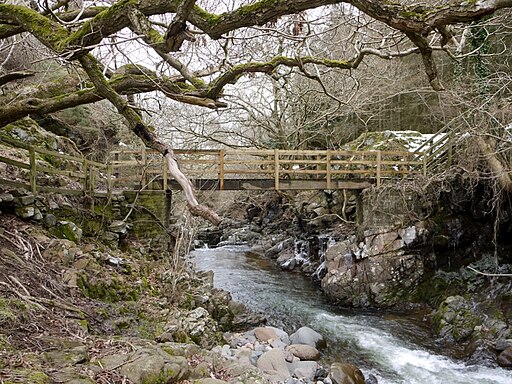
Footbridge over the College Burn, east of Hethpool Linn. Wild Goats are often seen in the College Valley. The Northumberland telling of the children's story, 'Three Billy Goats Gruff', is based on this bridge.


