Icklingham Walks
![]()
![]() This West Suffolk village sits in a picturesque spot on the river Lark.
This West Suffolk village sits in a picturesque spot on the river Lark.
For walkers there's pleasant riverside footpaths and the wildlife rich Tuddenham Heath and Cavenham Heath nature reserves to explore. The village is also located on the Lark Valley Path and the Icknield Way Path long distance trails.
This walk from the village takes you along a section of the Lark Valley Path to Mildenhall. It's a pleasant section of the river with nice views of the surrounding countryside and woodland.
Please scroll down for the full list of walks near and around Icklingham. The detailed maps below also show a range of footpaths, bridleways and cycle paths in the area.
Postcode
IP28 6PS - Please note: Postcode may be approximate for some rural locationsIcklingham Ordnance Survey Map  - view and print off detailed OS map
Icklingham Open Street Map  - view and print off detailed map
Icklingham OS Map  - Mobile GPS OS Map with Location tracking
Icklingham Open Street Map  - Mobile GPS Map with Location tracking
Walks near Icklingham
- Tuddenham - This circular walk explores the countryside around the village of Tuddenham in Suffolk
- Cavenham Heath - Enjoy a short stroll around this pretty nature reserve near Bury St Edmunds
- Mildenhall - This is a lovely circular walk along the River Lark from the Suffolk market town of Mildenhall
- Lark Valley Path - Travel through the River Lark Valley on this interesting and varied walk from Mildenhall to Bury St Edmunds via West Stow Country Park.
- West Stow Country Park - Enjoy waterside walks alongside a number of pretty lakes and the River Lark in this splendid country park near Bury St Edmunds
- King's Forest - This large area of woodland near has miles of cycling and walking trails to enjoy
- Lackford Lakes - This walk visits the pretty Lackford Lakes Nature Reserve near Bury St Edmunds in Suffolk.
- Newmarket - This walk uses sections of the Stour Valley Path and Icknield Way Path long distance trails to take you past the famous racecourse and into the countryside surrounding the Suffolk town of Newmarket.
The walk begins in the centre of town, near the tourist information centre and the former palace of Charles II - Bury St Edmunds - This walk visits some of the highlights of this lovely Suffolk town using sections of the St Edmund Way and Bury to Clare Walk
- Moulton - This attractive Suffolk based village includes several picturesque thatched cottages, views of the River Kennett and a noteworthy medieval Packhorse Bridge
- Icknield Way Path - The Icknield Way Path starts at Ivinghoe Beacon in Buckinghamshire and heads to Knettishall Heath in Suffolk along prehistoric pathways
Pubs/Cafes
The Guiness Arms is an historic 16th Century coaching inn in the village. Outside the attractive thatched inn there are beautiful, landscaped gardens that roll down to the River Lark. The pub itself has a large conservatory style dining area, a smaller, more intimate dining area, two bars and eight bespoke rooms, which are in the barns adjacent to the pub. The conservatory style restaurant with outside terraces gives a wonderful setting in which to enjoy a fabulous meal. You can find them at postcode IP28 6PS. The pub is dog friendly.
Photos
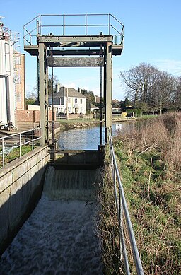
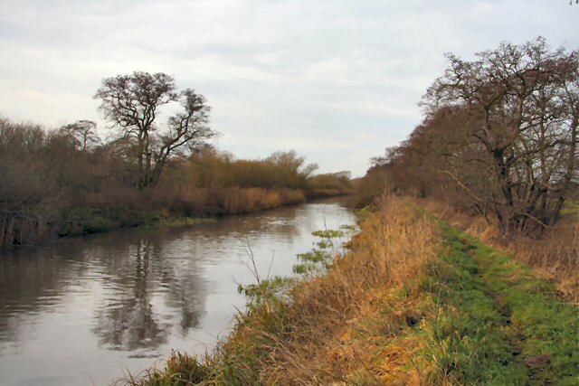
River Lark at Icklingham. A stretch of the formerly navigable river between Farthing Bridge and Icklingham Mill.
Farthing Bridge. The River Lark was navigable until about a hundred years ago. Here at Icklingham the width of the river allowed barges to turn around.


