Manaton Walks

 This pretty Dartmoor village is a lovely place to start a walk. It's located close to several of the National Park's highlights and has a fine pub to relax in after your exercise.
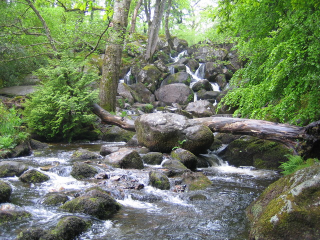
This circular walk from the village visits the splendid Lustleigh Cleave, the popular Becky Falls and the fascinating stone stack at Bowerman's Nose. There's much to enjoy with peaceful woodland trails, riverside paths along the River Bovey, stunning waterfalls and fabulous views over the national park from the high points.
Please scroll down for the full list of walks near and around Manaton. The detailed maps below also show a range of footpaths, bridleways and cycle paths in the area.
Manaton Ordnance Survey Map  - view and print off detailed OS map
Manaton Open Street Map  - view and print off detailed map
Manaton OS Map  - Mobile GPS OS Map with Location tracking
Manaton Open Street Map  - Mobile GPS Map with Location tracking
Walks near Manaton
- Lustleigh Cleave - The village of Lustleigh is in a nice position for exploring a lovely part of the Dartmoor National Park
- Hound Tor - Hound Tor is considered one of the best view points in the Dartmoor National Park
- Becky Falls - This is a circular walk in the Dartmoor's Bovey Valley visiting the beautiful Becky Falls and other local landmarks, beauty spots and villages
- Dartmoor Way - This epic long distance circular walk takes you on a tour of the wonderful Dartmoor National Park.On the circular route you will pass Okehampton, Chagford, Moretonhampstead, Buckfastleigh, Princetown, Foggintor Quarry and Tavistock as you make your way around this circular route
- Hound Tor - Hound Tor is considered one of the best view points in the Dartmoor National Park
- Trenchford and Tottiford Reservoir - Enjoy an easy walk around these two pretty reservoirs in the Dartmoor National Park
- Chudleigh - This Devon based town is located in a good spot close to the Dartmoor National Park and the River Teign Valley.
- Bovey Tracey - The town of Bovey Tracey sits in a fine walking location on the edge of the Dartmoor National Park
- Wray Valley Trail - This shared cycling and walking trail runs along a dismantled railway line from Moretonhampstead to Bovey Tracey in Devon.
- Bowermans Nose - This popular circular walk climbs to Bowerman's Nose in the Dartmoor National Park
- Grimspound - This circular walk on Dartmoor, visits the fascinating Bronze Age Settlement of Grimspound
Pubs/Cafes
Back in the village you can enjoy refreshments at the Kestor. They serve good quality dishes and have a nice garden to sit out in. The pub is dog friendly and located at postcode TQ13 9UF.
Photos
Cottages and St Winifred's Church, Manaton. The 15th-century church, located in a prominent spot due north of the village green, is dedicated to St Winifred. Three of the six bells in its tower are medieval – markings on the oldest indicate that it dates back to around 1440–1450, making them at least as ancient as the tower. They are still being rung today on a regular basis by the local team of bellringers.


