Peasmarsh Walks

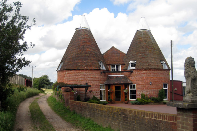
 This pretty East Sussex village is located in a lovely spot in the High Weald AONB near Rye.
This circular walk makes use of some of the waymarked long distance trails running through the surrounding area. You'll follow sections of the High Weald Landscape Trail, the Sussex Border Path and the Royal Military Canal Path to visit the neighbouring settlements of Rye and Iden.
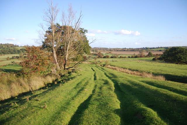
On the way there are nice waterside sections along the River Rother and the canal near Rye. There's also some peaceful woodland paths through Iden Wood, views of the River Tillingham valley and some lovely surrounding High Weald countryside to enjoy.
At the southern end of the route you can extend your outing by visiting the coastal Camber Sands or exploring the wildlife rich Rye Harbour Nature Reserve.
Postcode
TN31 6UW - Please note: Postcode may be approximate for some rural locationsPeasmarsh Ordnance Survey Map  - view and print off detailed OS map
Peasmarsh Open Street Map  - view and print off detailed map
Peasmarsh OS Map  - Mobile GPS OS Map with Location tracking
Peasmarsh Open Street Map  - Mobile GPS Map with Location tracking
Walks near Peasmarsh
- Rye Circular Walk - This route from Rye uses two of the area's long distance footpaths to create a circular walk around the town
- Rye Harbour - This lovely walk takes you around Rye Harbour Nature Reserve on the Sussex coast
- Camber Sands - Enjoy a walk or cycle along National Cycle Network Route 2 from Rye to the beautiful Camber Sands
- Hastings to Winchelsea Coastal Walk - This lovely walk follows the Saxon Shore Way and the Royal Military Canal Path from Hastings to Winchelsea
- Dymchurch - This Kent based visit is located on the coast near Romney Marsh, Hythe and Folkestone
- High Weald Landscape Trail - Explore the High Weald AONB on this fabulous 90 mile walk that links the ridge-top villages and historic gardens for which the area is famous
- Sussex Border Path - A fabulous long distance walk following the Sussex county border from Thorney Island in West Sussex to Rye in East Sussex
- Royal Military Canal Path - This walking route runs from Pett Level to Seabrook along the Royal Military Canal
- Winchelsea - This small East Sussex town is fine place for a historical walk
Pubs/Cafes
The Horse & Cart Inn is a nice village pub for some post walk refreshment. The Grade II listed inn serves high quality food and also provides rooms if you would like to stay in the area. You can find them on School Lane with a postcode of TN31 6UW for your sat navs.
Dog Walking
The country, river and woodland trails make for a fine dog walk. The Horse and Cart mentioned above is also dog friendly.


