Walk around Radlett
![]()
![]() This affluent Hertfordshire based village has some nice country and river trails to try.
This affluent Hertfordshire based village has some nice country and river trails to try.
This circular walk from the village visits the River Colne and River Ver on the Ver-Colne Valley Walk before heading to the nearby Bricket Wood Common and the village of Aldenham.
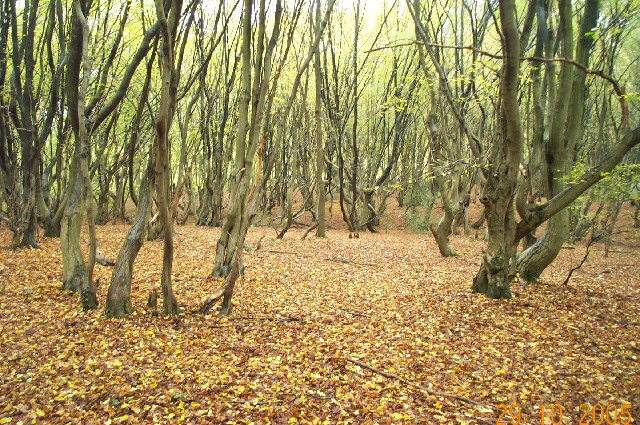
The walk starts at the Folly about half a mile west of the train station. Here you can pick up a footpath heading north to meet up with the Colne near Colney Street. Follow the Ver-Colne Valley Walk south west along the river and it will take you to Bricket Wood Common where there are some nice woodland trails. You'll also pass the confluence of the two river around Drop Lane.
The route then head south east to visit the village of Aldenham. It's a pretty little village with a number of pre-19th century buildings that are listed buildings. The parish itself is largely unchanged, though buildings have been rebuilt, since Saxon times when the majority of the land was owned by the abbots of Westminster Abbey. From the village you then head east to Batlers Green, passing Kemprow on the way. The final section turns north to take you through the village and back to the start point.
Radlett Ordnance Survey Map  - view and print off detailed OS map
Radlett Open Street Map  - view and print off detailed map
Radlett OS Map  - Mobile GPS OS Map with Location tracking
Radlett Open Street Map  - Mobile GPS Map with Location tracking
Pubs/Cafes
The Red Lion is a good choice for some post walk refreshments. They do a great Sunday roast and have a fine selection of craft and classic beers. They also have a garden area for warmer days. You can find the hotel near the train station on Watling Street with a postcode of WD7 7NP for your sat navs.
The Round Bush in Aldenham is a good stop off point on the route. The 17th century pub has a large garden area and a good menu. You can find it at postcode WD25 8BG.
Dog Walking
The country and river trails make for a nice dog walk. The woodland trails in Bricket Wood are also a good option and the nearby Aldenham Park also welcomes dogs. The Red Lion and Round Bush pubs mentioned above are also dog friendly
Further Information and Other Local Ideas
At the southern end of the walk you could take a detour south to visit Aldenham Country Park. The park includes a nice lakeside trail and the adjacent Hilfield Park Reservoir. You can also pick up the long distance London Loop in this area.
To the west you could pay a visit to Cassiobury Park and pick up the Grand Union Canal Walk and the Colne Valley Trail. There's more fine waterside walking trails to enjoy along these waterways. The Celandine Route also runs through the area. It will take you along the River Pinn from Pinner to Cowley.
For more walking ideas in the area see the Hertfordshire Walks page.
Cycle Routes and Walking Routes Nearby
Photos
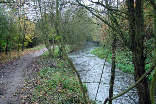
Ver River - Riverside walk Near Drop Lane. Over the years the River Ver has proved itself to be a natural resource in many ways. It has always been used to provide a drinking water supply for human beings but other uses have included defence, a source of power and a focus for recreation and leisure.
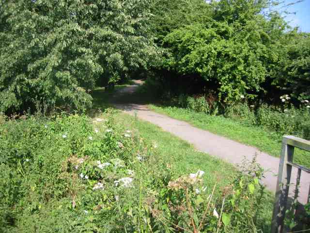
Walk by the River Ver in Drop Lane. For almost its whole length the walk is well shaded by mature trees.
River Colne & River Ver: Confluence. The River Ver (on the left) flows into the River Colne (on the right) at this point. The River Colne continues downstream to the right and behind the photographer towards Watford.
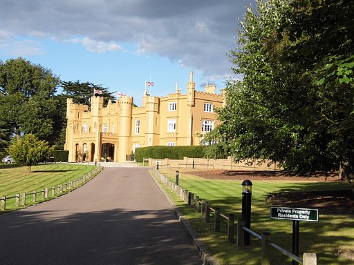
Wall Hall, Aldenham. Wall Hall was built in the 19th century for George Woodford Thelluson, and later became part of Hatfield Polytechnic and the University of Hertfordshire which it became. The college was demolished for housing which was completed in 2004 and only the hall and the old cottages along the road remain.


