Radnage Walks

 This Buckinghamshire village is located in the Chiltern Hills just west of Bledlow Ridge. The village includes a wildlife rich local nature reserve and an historic church dating to the 12th century.
Local walking highlights include the fine viewpoint at Chinnor Hill and The Ridgeway National Trail which can be accessed just to the north of the village. The Chiltern Way also passes through the area.
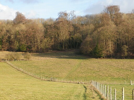
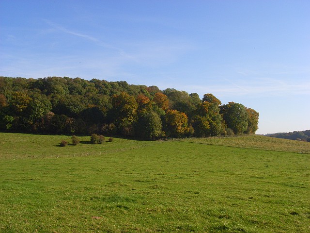
This walk from Radnage visits the Yoesdon Wood Nature Reserve which lies just to the east of the village. The reserve includes some peaceful woodland walks with lots of interesting flora and fauna to see. The steeply sloping chalk meadow has many species of butterfly, including three scarce blue species, the Adonis, chalkhill and small blue. Flora includes common spotted and fragrant orchids.
Radnage Ordnance Survey Map  - view and print off detailed OS map
Radnage Open Street Map  - view and print off detailed map
Radnage OS Map  - Mobile GPS OS Map with Location tracking
Radnage Open Street Map  - Mobile GPS Map with Location tracking
Walks near Radnage
- Bledlow Ridge - This Buckinghamshire based village has some fine country walks into the surrounding Chiltern Hills
- Chinnor - This village in South Oxfordshire is in a fine location for walkers with hill climbs and large areas of woodland right next to the settlement
- Saints Way - This walk takes you across Cornwall from Padstow in the north to Fowey on the south coast
- Icknield Way Path - The Icknield Way Path starts at Ivinghoe Beacon in Buckinghamshire and heads to Knettishall Heath in Suffolk along prehistoric pathways
- Princes Risborough - This Buckinghamshire based town is in a great location for exploring the beautiful Chiltern Hills AONB.
This walk from the town's train station takes you to some of the highlights of the area - West Wycombe Park - Explore the beautiful estate surrounding West Wycombe House on this walk in the Chilterns AONB
- Hughenden Manor Park - The 1,500 acres of parkland surrounding the red brick Victorian mansion of Hughenden Manor is great for a short walk in lovely surroundings
- High Wycombe - This large Buckinghamishire town is a great place to go for a country walk with some several attractive woodland areas, views of the Chiltern Hills and the wonderful Hughenden Park to enjoy
- Midshires Way - This route follows public bridleways and quiet country lanes through Middle England, from Bledlow, near Aylesbury in Buckinghamshire, to Stockport in Greater Manchester
- Bradenham Woods - This circular walk explores the woodland and countryside surrounding the pretty village of Bradenham in the Chilterns
- Downley Common - This walk visits Downley Common next to the Buckinghamshire village of Downley in the Chilterns near High Wycombe.
- Stokenchurch - This Buckinghamshire based village has some lovely trails to follow through the surrounding Chilterns countryside
- Aston Rowant Nature Reserve - Enjoy a circular walk around this wonderful nature reserve in the Chilterns and climb Beacon Hill on the way
- Saunderton - This Buckinghamshire based village is well served by a series of footpaths running into the glorious rolling Chilterns countryside.
- Chiltern Way - This is the original 125 mile circuit of the Chilterns AONB taking you through Hemel Hempstead, Chalfont St Giles, Marlow, Hambleden, Turville, Fingest, Bix Bottom, Ewelme, the Ridgeway, Stokenchurch, Great Hampden, Aldbury, the Dunstable Downs Country Park, Sharpenhoe Clappers and Harpenden


