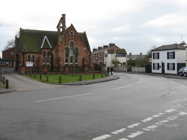
Ruddington Walk

 This Nottinghamshire based village is located a few miles south of the city of Nottingham.
For walkers there's Rushcliffe Country Park on the southern side of the village. The park includes wildflower meadows and waterside paths around the large lake. There's also cycle trails and lots of wildlife to see as well.
The village also includes the Nottingham Transport Heritage Centre where there's heritage buses, a large miniature railway, a model railway display, cafe and a shop.
To the west of the village there's the Fairham Brook Nature Reserve. The reserve includes pleasant trails with wildlife such as kingfishers to see. Near here there's also the lakes at the Attenborough Nature Reserve where you can also enjoy riverside trails along the Trent Valley Way.
This walk from Ruddington takes you past the country park and through the surrounding fields to visit the neighbouring villages of Bunny and Bradmore. On the way there's nice views of the surrounding moors and countryside.
Ruddington Ordnance Survey Map  - view and print off detailed OS map
Ruddington Open Street Map  - view and print off detailed map
Ruddington OS Map  - Mobile GPS OS Map with Location tracking
Ruddington Open Street Map  - Mobile GPS Map with Location tracking
Walks near Ruddington
- Rushcliffe Country Park - Explore over 200 acres of cycling and walking trails in this popular country park in Ruddington near Nottingham
- East Leake - This pretty Nottinghamshire village has a picturesque green, a selection of waymarked country trails and a fine local farm to visit
- Loughborough Canal Walk - A waterside walk from Loughborough to Leicester along a section of the Grand Union Canal and the River Soar
- Nottingham Canal - Enjoy a walk or cycle along this pretty canal in Nottingham
- Nottingham Circular Walk - This long circular walk makes use of various waymarked footpaths to take you on a tour of the city's rivers, canals, nature reserves and parks.
The walk starts at the train station and heads a short distance south to the River Trent - Beeston Canal - This walk takes you along the Beeston Canal in Nottingham
- Kegworth - This large Leicestershire based village has some nice canal and country trails to try.
- Attenborough Nature Reserve - Explore over 350 acres of lakes, wetland, woodland, grassland and scrub in this popular nature reserve near Nottingham
- Erewash Valley Trail - This splendid cycling and walking trail explores the canals, countryside, towns and villages of south Derbyshire and Nottinghamshire
- Trent Valley Way - Follow the River Trent from Long Eaton in Derbyshire to West Stockwith in Nottinghamshire on this lovely waterside walk


