Silchester Walk
![]()
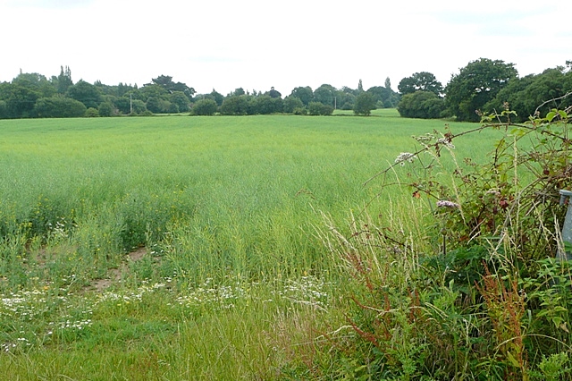
![]() This walk follows the waymarked Silchester trail around the Hampshire village. On the way you will enjoy some nice countryside views and pay a visit to the fascinating Roman town of Calleva Atrebatum.
This walk follows the waymarked Silchester trail around the Hampshire village. On the way you will enjoy some nice countryside views and pay a visit to the fascinating Roman town of Calleva Atrebatum.
The walk starts in the village and picks up a footpath heading east to the remains of the Roman town. Here you can enjoy a walk around the Roman Walls which are still visible for much of the circumference. There's also the remains of the amphitheatre, added about AD 70-80, situated outside the city walls. The site was first excavated by the Rev James Joyce who, in 1866, discovered the bronze eagle known as 'The Silchester Eagle'. The fine statue dates from the 1st or 2nd century and can now be seen in the Museum of Reading.
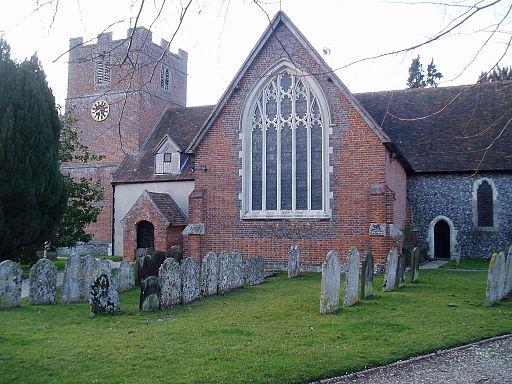
After exploring the site the trail then heads south east through the countryside to the village of Bramley. Here you will find the noteworthy Church of St James which stands at the western end of the village and dates from 1160. The Norman church is Grade I listed and includes a 13th century piscina while the screen, benches, pulpit and communion rail are from the 16th to 18th centuries.
In the village you can enjoy refreshments at the 19th century Bramley Inn at was is roughly the half way point of the walk.
The route then leaves the village and heads north west to Three Ashes, crossing Silchester Brook and the course of the old Roman Road. You then pass a small pocket of woodland at Dicker's Copse before returning to Silchester.
To continue your walking around Slichester head south west to visit Pamber Forest, Silchester Common and the town of Tadley. There's miles of nice woodland walking trails to be found here. The Brenda Parker Way passes through the area so you could pick this up to visit the forest.
The pretty Ashford Hill Nature Reserve is also nearby and has some nice woodland trails and lots of wildlife to see.
Silchester Ordnance Survey Map  - view and print off detailed OS map
Silchester Open Street Map  - view and print off detailed map
Silchester OS Map  - Mobile GPS OS Map with Location tracking
Silchester Open Street Map  - Mobile GPS Map with Location tracking
Pubs/Cafes
Head to The Calleva Arms for some refreshments after your walk. They have a lovely large garden area where you can sit outside on sunny days. There's a good menu and the pub is also dog friendly if you have your canine friend with you. You can find them on the Little London Road, The Common with a postcode of RG7 2PH for your sat navs.
Further Information and Other Local Ideas
Just a few miles to the north you can pick up the towpath of the Kennet and Avon Canal at the lovely Aldermaston Wharf.
Cycle Routes and Walking Routes Nearby
Photos
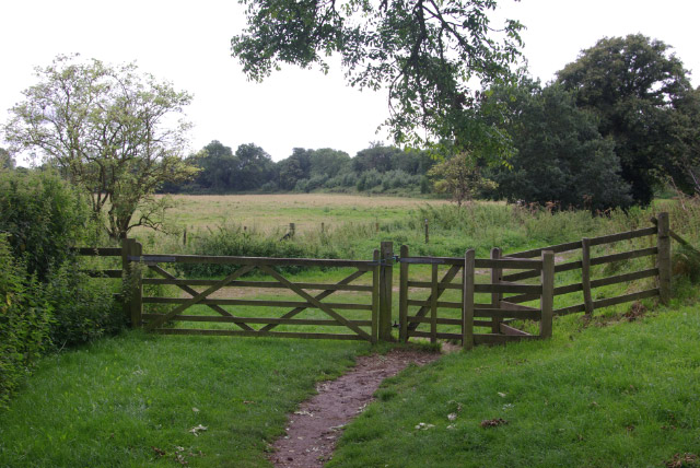
Path around Calleva Atrebatum. Part of the path that runs around the walls of Roman Silchester. Just beyond the gate to the left is The Drove which crosses the centre of the site direct to St Mary's Church, and to the right a path leads to the car park.


