Spilsby Walks

 This walk explores the area around the market town of Spilsby in Lincolnshire.
The town sits on the edge of the Lincolnshire Wolds AONB with numerous public footpaths to follow into the attractive rolling countryside.
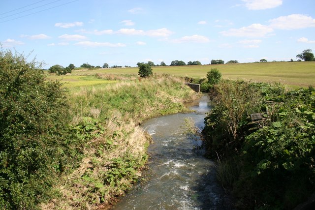
This circular walk from the town follows paths north through the fields to visit the neighbouring villages of Partney and Skendleby. On the way you will cross the River Lymn and enjoy some fine rural scenery.
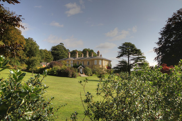
You then turn west to Dalby, passing Dalby Hall before coming to Langton. The route then heads south to return to Spilsby.
To continue your walking in the area head east to visit one of the local highlights at the historic Gunby Hall.
Postcode
PE23 5JT - Please note: Postcode may be approximate for some rural locationsSpilsby Ordnance Survey Map  - view and print off detailed OS map
Spilsby Open Street Map  - view and print off detailed map
Spilsby OS Map  - Mobile GPS OS Map with Location tracking
Spilsby Open Street Map  - Mobile GPS Map with Location tracking
Walks near Spilsby
- Alford - This small market town is located in a lovely spot on the edge of the Lincolnshire Wolds AONB
- Gunby Hall - This walk visits the historic Gunby Hall Estate in the Lincolnshire Wolds.
- Lindsey Trail - This new bridleway runs through the Lincolnshire Wolds AONB and is suitable for both walkers and cyclists with a hybrid or mountain bike
- Snipe Dales Country Park - Explore 220 acres of country park and nature reserve in the beautiful Lincolnshire Wolds
- Louth Canal - Enjoy a waterside walk along the Louth Canal from Louth to Tetney Marshes
- Hubbard's Hills - This area of natural beauty in Louth is a lovely place for an afternoon stroll
- Donington on Bain - This pretty village is located in the Lincolnshire Wolds AONB, on the banks of the River Bain
- Belchford - This pretty village lies in the Lincolnshire Wolds, an Area of Outstanding Natural Beauty
- Hagworthingham - This small Lincolnshire village is located in the East Lindsey district near Horncastle
- Biscathorpe - This Lincolnshire Wolds walk takes you from the medieval village at Biscathorpe to another medieval site at nearby Wykeham
- Binbrook - This pretty village is located in the East Lindsey district of Lincolnshire near to the town of Market Rasen.
- Willoughby - This Lincolnshire village is located in a fine rural spot, near Alford on the edge of the Lincolnshire Wolds AONB.
- Goulceby - Goulceby is a Lincolnshire Wolds village located in the East Lindsey district of the county.
Pubs/Cafes
The Nelson Butt is a good choice for some post walk refreshments. It's a historic Grade II listed pub with low ceilings and half panelled walls. Facilities include car parking and a pleasant garden area. You can find them at postcode PE23 5JT for your sat navs. The pub is also dog friendly.


