Willoughby Walks
![]()
![]() This Lincolnshire village is located in a fine rural spot, near Alford on the edge of the Lincolnshire Wolds AONB.
This Lincolnshire village is located in a fine rural spot, near Alford on the edge of the Lincolnshire Wolds AONB.
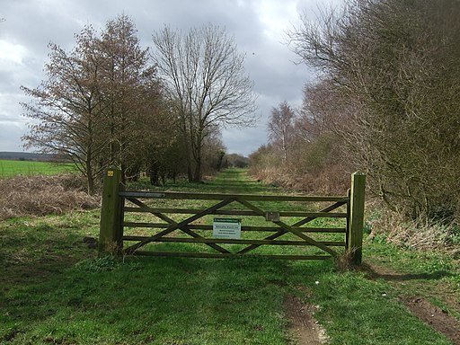
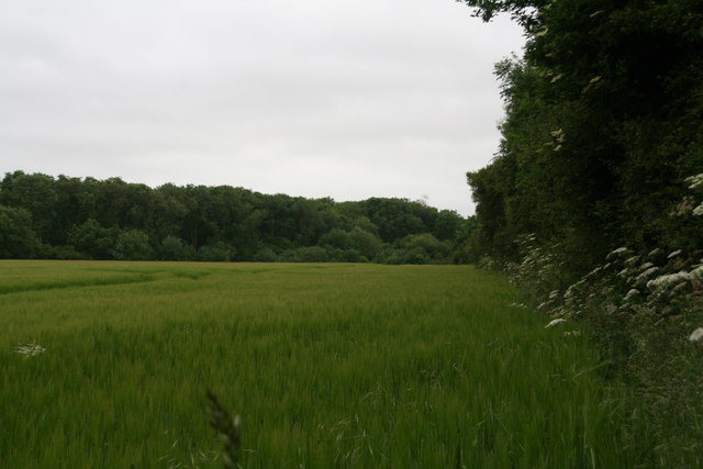
This circular walk visits the Willoughby Branch Line Nature Reserve. The reserve includes a footpath along the disused branch railway from Willoughby to Mablethorpe. The old line now makes for a pleasant nature walk with a variety of wildlflowers, plants and wildlife to see. Look out for spotted-orchids, skipper butterflies and birds such as blackcap, sedge warbler and redpoll as you make your way along the flat path.
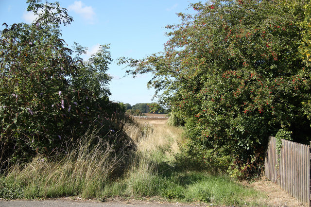
After exploring the reserve you can then follow quiet country lanes back to the village.
To continue your walking in the area head a few miles south to visit Gunby Hall. The historic hall is one of the area highlights with 8 acres of beautiful gardens, an 18th century manor and an expansive country estate.
Postcode
LN13 9SU - Please note: Postcode may be approximate for some rural locationsWilloughby Ordnance Survey Map  - view and print off detailed OS map
Willoughby Open Street Map  - view and print off detailed map
Willoughby OS Map  - Mobile GPS OS Map with Location tracking
Willoughby Open Street Map  - Mobile GPS Map with Location tracking
Walks near Willoughby
- Alford - This small market town is located in a lovely spot on the edge of the Lincolnshire Wolds AONB
- Gunby Hall - This walk visits the historic Gunby Hall Estate in the Lincolnshire Wolds.
- Lindsey Trail - This new bridleway runs through the Lincolnshire Wolds AONB and is suitable for both walkers and cyclists with a hybrid or mountain bike
- Skegness - This walk takes you along the Lagoon Walk and then around the boating lake in the popular coastal town of Skegness
- Snipe Dales Country Park - Explore 220 acres of country park and nature reserve in the beautiful Lincolnshire Wolds
- Louth Canal - Enjoy a waterside walk along the Louth Canal from Louth to Tetney Marshes
- Hubbard's Hills - This area of natural beauty in Louth is a lovely place for an afternoon stroll
- Mablethorpe - This seaside town in Lincolnshire has some lovely walks with sand dunes, a fine beach and attractive coastal gardens to explore.
- Donington on Bain - This pretty village is located in the Lincolnshire Wolds AONB, on the banks of the River Bain
- Belchford - This pretty village lies in the Lincolnshire Wolds, an Area of Outstanding Natural Beauty
- Hagworthingham - This small Lincolnshire village is located in the East Lindsey district near Horncastle
- Biscathorpe - This Lincolnshire Wolds walk takes you from the medieval village at Biscathorpe to another medieval site at nearby Wykeham
- Binbrook - This pretty village is located in the East Lindsey district of Lincolnshire near to the town of Market Rasen.
- Spilsby - This walk explores the area around the market town of Spilsby in Lincolnshire.
- Saltfleet - The village of Saltfleet is located on the Lincolnshire coast in the East Lindsey district of the county
Pubs/Cafes
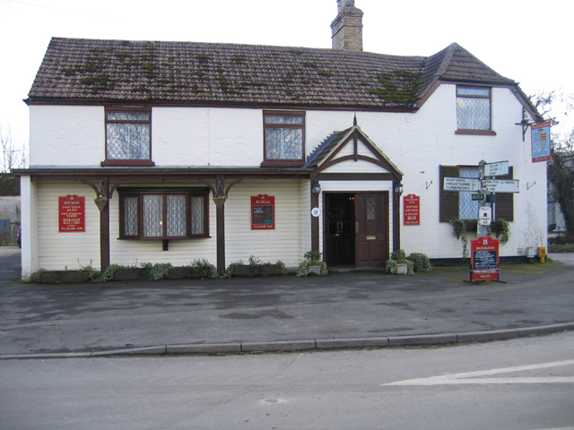
Head to the Willoughby Arms for some refreshments after your walk. The dog friendly pub includes a real fire, a garden and parking.
Further Information and Other Local Ideas
Head north and you could visit the market town of Alford. Here you can see the historic Alford Manor House, a 13th century church and the five sailed Alford Windmill.
Photos
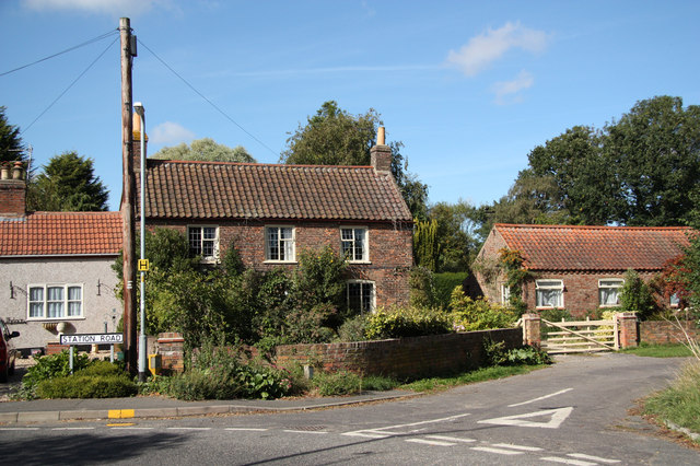
Willoughby village green. The village is the birthplace of John Smith, the famous explorer and settler of the United States. On the anniversary of the founding of the Jamestown settlement hundreds of Americans come to the village to see where Smith lived. Smith was connected to the Native American girl Pocahontas, daughter of the chief of the Powhatan confederacy tribes.
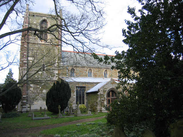
Church of St Helena. The church is early 14th, late 14th, & early 15th Century. Consisting of Western tower, clerestoried nave, aisles, chancel, & south porch. There was a major restoration by James Fowler of Louth in 1880. The construction is squared coursed greenstone rubble, limestone ashlar rubble, red brick patching, with slate and lead roofs.

