Spires and Steeples
![]()
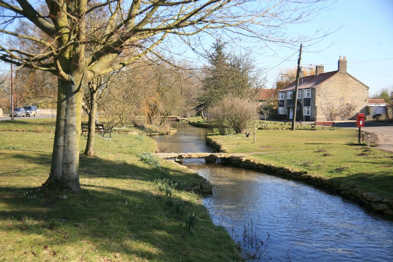
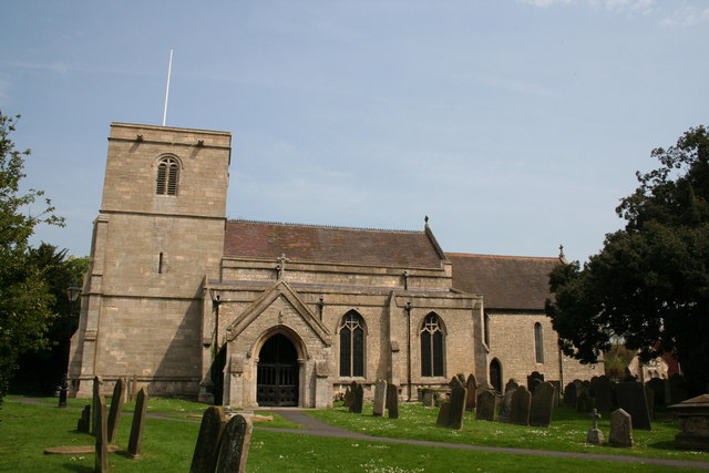
![]() This walk runs from Lincoln to Sleaford through a number of historical villages and beautiful countryside in the North Kesteven area. The name refers to the Spires of the churches and to the rural sport of Steeple chasing.
This walk runs from Lincoln to Sleaford through a number of historical villages and beautiful countryside in the North Kesteven area. The name refers to the Spires of the churches and to the rural sport of Steeple chasing.
You will pass a series of interesting villages including Heighington, Nocton, Metheringham, Scopwick, Digby and Ruskington. The scenery on the walk includes flat fens and heath, while there are also two lovely waterside sections along the River Whitham at the start and the River Slea into Sleaford at the end of the walk.
Spires and Steeples Ordnance Survey Map  - view and print off detailed OS map
Spires and Steeples Open Street Map  - view and print off detailed map
Spires and Steeples OS Map  - Mobile GPS OS Map with Location tracking
Spires and Steeples Open Street Map  - Mobile GPS Map with Location tracking
Further Information and Other Local Ideas
Near Lincoln you could pay a visit to the splendid Elizabethan manor house of Doddington Hall at Skellingthorpe. The hall is one of the area's highlights with some beautiful gardens, retail outlets, a bike shop and a mountain bike trail.
For more walking ideas in the county see the Lincolnshire Walks page.
Cycle Routes and Walking Routes Nearby
Photos
Video
GPS Files
GPX File
Spires and Steeples.gpx (On Desktop:Right Click>Save As. On Ipad/Iphone:Click and hold>Download Linked File)NB GPS file for this route only details route start - route is waymarked from there in


