St James' Way

 This long distance pilgrimage walk takes you from Reading Abbey to the port of Southampton.
The waymarked trail runs for about 66 miles with pretty villages, historic sites, riverside trails and some lovely countryside to enjoy.
The walk starts at the photogenic ruins of Reading Abbey which was the home of the 'Hand of St James' in the middle ages. The ancient holy relic now resides in St. Peter's Church in Great Marlow.
From Reading the route heads south west to Theale, Burghfield and Silchester where you will find the fascinating Roman town.
You continue south past Basingstoke and Alresford where you will cross the River Arle.
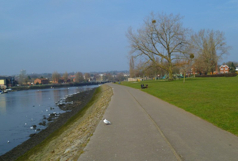
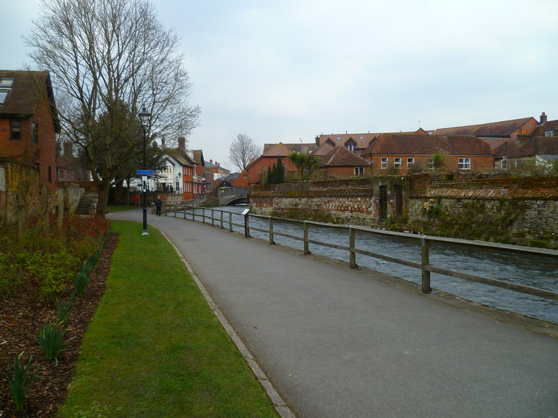
The next stage takes you to the cathedral city of Winchester where you link up with the Itchen Way. You can then follow this lovely riverside trail south through Eastleigh before finishing at Southampton where historical pilgrims embarked for France and Spain. Here you can explore the Camino de Santiago (Way of St James) leading to the shrine of the apostle Saint James the Great in the cathedral of Santiago de Compostela in Galicia in northwestern Spain. Tradition holds that the remains of the apostle are buried here.


