Theale Walks

 This walk explores the lakes, canal and river surrounding the West Berkshire village of Theale.
The village is located just to the west of Reading and includes pleasant footpaths along the River Kennet and the Kennet and Avon Canal.
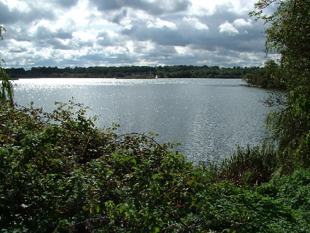
This walk from Theale Railway station takes you east along the canal towards Burghfield. You'll pass pretty locks, lakes formed from former gravel pits and a weir on the River Kennet. There's also an optional detour to visit Hosehill Lake Local Nature Reserve where there is a one mile circular walk around the lake. The reserve is a great place for wildlife watching with wildfowl on the water and a butterfly meadow to enjoy.
To continue your walking in the area you could head south to visit Burghfield and Wokefield Common where there's a network of good footpaths to try.
Postcode
RG7 4AQ - Please note: Postcode may be approximate for some rural locationsTheale Ordnance Survey Map  - view and print off detailed OS map
Theale Open Street Map  - view and print off detailed map
Theale OS Map  - Mobile GPS OS Map with Location tracking
Theale Open Street Map  - Mobile GPS Map with Location tracking
Walks near Theale
- Kennet and Avon Canal Walk - A splendid waterside walk from the Thames at Reading, through Thatcham, Newbury, Hungerford, Great Bedwyn, Pewsey, Devizes, Bradford on Avon to Bath
- Reading Canal Walk - This walk takes you along the Kennet and Avon Canal from Reading to Aldermaston Wharf
- Reading Circular River Walk - This circular walk takes in a number of waterways including the River Thames, the River Kennet and the Kennet and Avon Canal
- Burghfield Wokefield Common - This walk explores Wokefield Common Nature Reserve in Burghfield Common, West Berkshire.
- Reading to Henley - Enjoy an easy riverside walk along the Thames Path on this walk from Reading to Henley-on-Thames via Sonning
- Tadley - This Hampshire based town is located near to some large areas of woodland and the attractive scenery of the North Downs
- Pamber Forest - This large forest in Tadley covers nearly 500 acres
- Silchester - This walk follows the waymarked Silchester trail around the Hampshire village
- Aldermaston - This Berkshire based village has some nice river and canalside trails to try.
- Wellington Country Park - This 350 acre park is very popular with walkers with four splendid nature trails to follow
- Caversham Court Gardens - Explore these beautiful award winning gardens on the banks of the River Thames on this short walk in the Caversham area of Reading
- Bucklebury Common - This large area of common land in Berkshire covers 350 hectares (860 acres)
- Spencers Wood - This Berkshire based village is located in a rural spot just south of the town of Reading.
- Wilders Folly - This walk visits the photogenic Wilder's Folly at Nunhide near Sulham in Berkshire.
- St James' Way - This long distance pilgrimage walk takes you from Reading Abbey to the port of Southampton
Pubs/Cafes
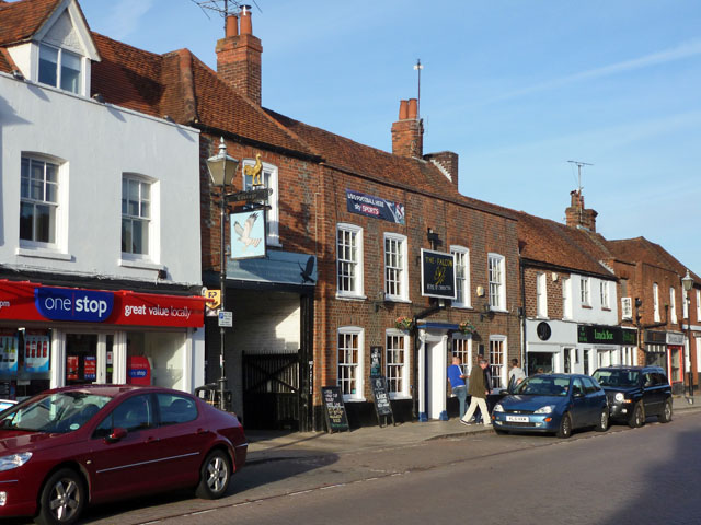
The Falcon is a a good choice for some post walk refreshments. The historic pub dates back to the 1600s and has a good selection of ales. There's also a nice garden area to relax in on warmer days. You can find them at postcode RG7 5AH for your sat navs. The pub is also dog friendly.
Further Information and Other Local Ideas
The St James' Way passes through the area. The long distance pilgrimage route runs from the historic ruins of Reading Abbey to the coast at Southampton.


