Stoney Middleton Walks
![]()
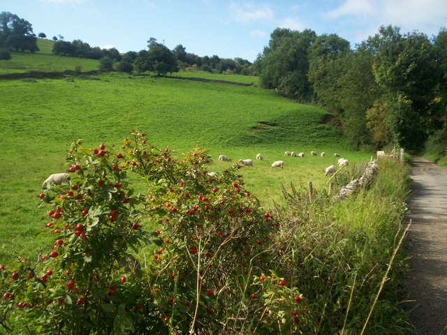
![]() Enjoy a short walk through the pretty Coombs Dale on this route from the village of Stoney Middleton. There's some nice limestone scenery, attractive woodland, and nice views over the surrounding Peak District countryside.
Enjoy a short walk through the pretty Coombs Dale on this route from the village of Stoney Middleton. There's some nice limestone scenery, attractive woodland, and nice views over the surrounding Peak District countryside.
Just to the west of the village centre you can pick up a footpath heading south to Coombs Dale. Here you follow a tree lined bridleway through the dale. You head towards Deep Rake at the southern end of the dale. Here you have the option of heading a short distance to the west and enjoying a walk along Longstone Edge. The limestone ridge runs from east to west for about 6 kilometres (3.7 mi), from the village of Calver to the River Wye at Monsal Dale. There's fabulous over the White Peak from the 395 metres (1,296 ft) high point.
You could also head north east to Calver Peak and the village of Calver.
This walk follows other footpaths back through the dale before returning to Stoney Middleton.
Back in the village you can enjoy refreshments at the walker friendly Lover's Leap cafe or the Moon Inn pub.
The village is located just to the south of Eyam where you can pick up a number of good walking trails.
You could also head a short distance to the east to pick up the long distance Derwent Valley Heritage Way and enjoy riverside paths along the River Derwent.
Postcode
S32 4TL - Please note: Postcode may be approximate for some rural locationsStoney Middleton Ordnance Survey Map  - view and print off detailed OS map
Stoney Middleton Open Street Map  - view and print off detailed map
Stoney Middleton OS Map  - Mobile GPS OS Map with Location tracking
Stoney Middleton Open Street Map  - Mobile GPS Map with Location tracking
Pubs/Cafes
The Moon Inn dates from 1823 and can be found on the High Street at postcode S32 4TL.
Dog Walking
The wooded dale makes for a fine dog walk and the Moon Inn mentioned above is also dog friendly.
Further Information and Other Local Ideas
Head east from the village and you could enjoy climbs to Curbar Edge and Froggatt Edge. There's some fine rock formations and wonderful views to enjoy from these elevated spots.
Just to the south west is the neighbouring village of Great Longstone. The historic village includes a 13th century church and a fine 17th century pub. Our circular walk from the village climbs to the splendid limestone ridge at Longstone Edge, just to the north of the settlement.
For more walking ideas in the area see the White Peak Walks page.
Cycle Routes and Walking Routes Nearby
Photos
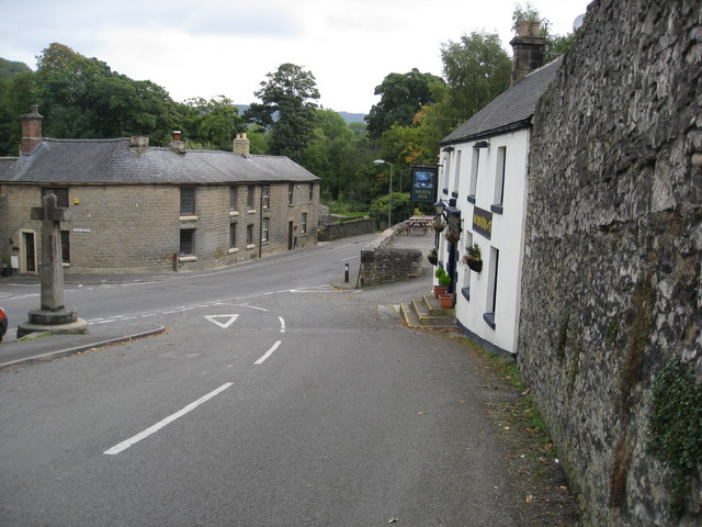
Stoney Middleton. High Street junction with The Avenue (A623). View with the Moon Inn on the right and the village cross on the left.
Limestone outcrop above Coombs Dale. Typical limestone scenery of the area with virtually dry steep sided valleys and rocky outcrops.


