Calver Walks
![]()
![]() This Derbyshire based village is in a lovely spot for riverside walks and Peak District climbs.
This Derbyshire based village is in a lovely spot for riverside walks and Peak District climbs.
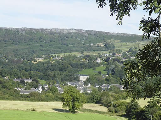
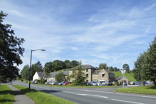
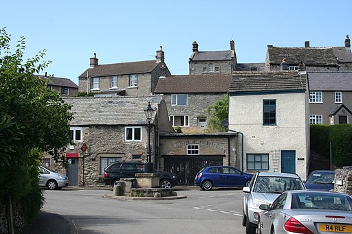
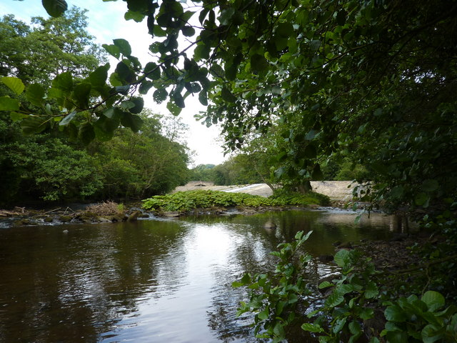
It's a pretty place with old stone cottages, historic mills and a photogenic weir on the river. There's also good facilities including a craft centre, garden centre, local shop, garage, and two pubs for refreshments after your exercise.
Calver sits on the western side of the River Derwent, just below the popular peaks at Curbar Edge and Froggatt Edge.
This circular walk from the village takes you along the river and up to these splendid ridge top trails with some wonderful views over the surrounding Peak District scenery.
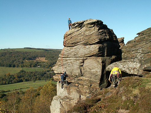
Starting in the village you head east, crossing the river and following a country lane past Curbar to Curbar Edge. Here you can enjoy some splendid rock formations and glorious views over the Eastern Moors of the Peak District.
Follow the ridge north and it will take you to Froggatt Edge where there's another impressive gritstone escarpment, woodland and wildlife to see.
Near the Grouse Inn you turn west through Hay Wood to descend to the river where you pick up the Derwent Valley Heritage Way. Follow the riverside waymarked footpath south and it will take you along Spooner Lane before returning you to Calver.
Postcode
S32 3XH - Please note: Postcode may be approximate for some rural locationsCalver Ordnance Survey Map  - view and print off detailed OS map
Calver Open Street Map  - view and print off detailed map
Calver OS Map  - Mobile GPS OS Map with Location tracking
Calver Open Street Map  - Mobile GPS Map with Location tracking
Walks near Calver
- Stoney Middleton - Enjoy a short walk through the pretty Coombs Dale on this route from the village of Stoney Middleton
- Derwent Valley Heritage Way - Follow the River Derwent through the Derbyshire Peak District on this stunning walk
- Eyam - This popular village in the Derbyshire Dales has a fascinating history and some lovely walks to try
- Curbar Edge - This circular walk takes you along the spectacular Curbar Edge in the Peak District
- Froggatt Edge Circular Walk - Enjoy splendid views over the Dark Peak on this climb to the gritstone escarpment of Froggatt Edge
- Monsal Dale - This circular walk explores the beautiful Monsal Dale in the Derbyshire Dales
- Monsal Head - This circular walk from Monsal Head crosses the Headstone Viaduct for fine views across the Derbyshire Dales.
- Monsal Trail Circular Walk - A circular walk along the Monsal Trail visiting Miller's Dale, Monsal Dale and Monsal Head before returning via Taddington.
The route starts from the car park at the Miller's Dale Viaduct - Monsal Trail - Follow the Monsal Trail through the Peak District National Park on this cycling and walking path.
The trail follows a disused railway line from Chee Dale near Buxton to Bakewell with the first section following the River Wye to Monsal Head via Cressbrook Dale and Miller's Dale - Great Longstone - This Derbyshire Dales based village is a great base for exploring some of the Peak District's highlights
- Foolow - This Derbyshire village lies just to the west of Eyam in the Peak District National Park.
Pubs/Cafes
- Eyre Arms - a traditional family pub with a dining area and bar featuring exposed beams, flag stone flooring and roaring fires (in winter). Facilities include a garden area and parking. You can find them at postcode S32 3XH for your sat navs.
- Derwentwater Arms - this historic inn dates back to 1708 and includes a wonderful terrace with glorious views over the area. You can find them at postcode S32 3XQ.

