Tring Circular Walk
![]()
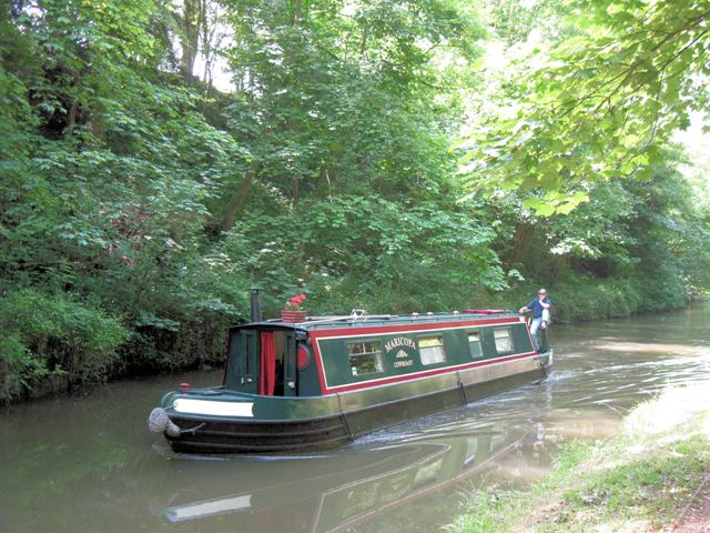
![]() This circular walk explores some of the highlights surrounding the Hertfordshire town of Tring. The 7.5 mile route visits Tring Park the Tring Reservoirs and the Grand Union Canal with fine scenery throughout.
This circular walk explores some of the highlights surrounding the Hertfordshire town of Tring. The 7.5 mile route visits Tring Park the Tring Reservoirs and the Grand Union Canal with fine scenery throughout.
The walk starts in the town centre and follows a footpath south into Tring Park. In the park you will find expansive areas of grassland and pretty bluebell woods ideal for a peaceful afternoon stroll. There's lots of wildflowers and butterflies in the summer months with great views from the park's high points. In the park you pick up The Ridgeway and follow it east past Langton Wood and Wiggington to the canal.
You pick up the towpath and head north to Bulbourne where you can visit the Tring Reservoirs. The four reservoirs include Startops End, Marsworth, Tringford and Wilstone. They are fantastic for birdwatching with visitors including grebes, bitterns, peregrine falcon, pied flycatcher and ringed plovers.
The canal passes the southern end of the reservoirs toward Drayton Beauchamp. Just before you reach the village you can pick up a footpath heading past Miswell Farm to take you back into Tring.
To continue your walking in the area head west to pick up our Wendover Circular Walk. The route explores the expansive Wendover Woods and climbs to the high point of the Chilterns at Haddington Hill. It also includes a waterside stroll along the Wendover Canal Arm where you can visit the pretty Weston Turville Reservoir.
Tring Circular Walk Ordnance Survey Map  - view and print off detailed OS map
Tring Circular Walk Open Street Map  - view and print off detailed map
Tring Circular Walk OS Map  - Mobile GPS OS Map with Location tracking
Tring Circular Walk Open Street Map  - Mobile GPS Map with Location tracking
Further Information and Other Local Ideas
The Wiggington Walk starts from the nearby village and visits the Cow Roast Lock on the canal.
Head north along the canal and you can visit the historic village of Mentmore where you will find several interesting old buildings associated with the 19th century Mentmore Towers Estate.
For cyclists the town makes a good entry point for the epic Chilterns Cycleway. The signed circular trail runs for about 170 miles through the Chilterns AONB on quiet country lanes, visiting a series of delightful villages.


