Ullesthorpe Railway Walk

 This circular walk takes you along the trackbed of the old railway line from Ullesthorpe to Leire in southern Leicestershire.
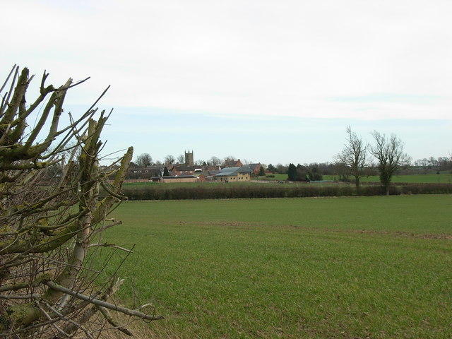
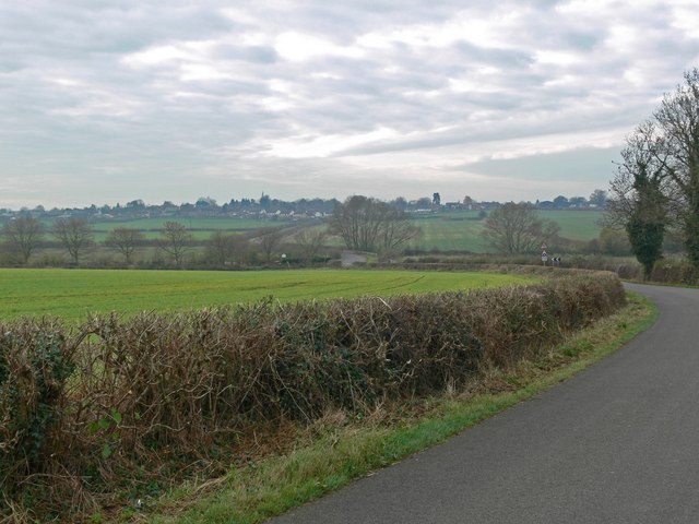
The route runs for a distance of just over 6 miles with some pleasant views of the surrounding countryside to enjoy on the way.
Start the walk in Ullesthorpe and follow the old railway line north to Leire. Here you can pick up the Leicestershire Round and follow the waymarked footpath west to visit Frolesworth. Head south from here and the trail will take you to Claybrook Magna where you can pick up a country lane to return you to Ullesthorpe.
Ullesthorpe Railway Walk Ordnance Survey Map  - view and print off detailed OS map
Ullesthorpe Railway Walk Open Street Map  - view and print off detailed map
Ullesthorpe Railway Walk OS Map  - Mobile GPS OS Map with Location tracking
Ullesthorpe Railway Walk Open Street Map  - Mobile GPS Map with Location tracking
Walks near Ullesthorpe
- Leicestershire Round - Explore the countryside, villages, canals, rivers and reservoirs of Leicestershire on this interesting and varied circular walk
- Hinckley - This historic market town is located in southwest Leicestershire close to Nuneaton
- Stanford Reservoir - This pretty reservoir is located on the River Avon near the village of Stanford-on-Avon on the Leicestershire and Northamptonshire border
- Welford - This circular walk around Welford visits the local reservoir before a stroll along the Welford Arm of the Grand Union Canal.
- Draycote Water - Enjoy a circular waterside cycle or walk around the delightful Draycote Water Country Park near Rugby
- Grand Union Canal Walk - Follow the towpath of Britain's longest canal from London to Birmingham on this fabulous waterside walk
- Shakespeare's Avon Way - This terrific waterside walk follows the River Avon from its source near Naseby to its confluence with the Severn at Tewkesbury
- Naseby Battlefield Walk - This circular walk from the village of Naseby takes you around the site of the Battle of Naseby
- Naseby Reservoir - This walk visits Naseby Reservoir in Northamptonshire
- Jurassic Way - This walk follows the Jurassic limestone ridge from Banbury to Stamford passing through Northamptonshire, Oxfordshire and Lincolnshire.
The walk includes a stretch along the Oxford Canal from Banbury and another waterside stretch along the Grand Union Canal near Braunston - Sulby Reservoir - Sulby Reservoir is located near the villages of Welford and Naseby in Northamptonshire
Pubs/Cafes
Back in Ullesthorpe the historic Chequers pub is a good choice for some post walk refreshment. The pub was originally a farmhouse during the reign of King George III (1760-1820), and features old oak beams and granite floors throughout. They provide parking and an outdoor seating area for warmer days.
You can find them on the Main Street with postcode LE17 5BT for your sat navs. The pub is also dog friendly.


