Walks near and around Wellington Somerset

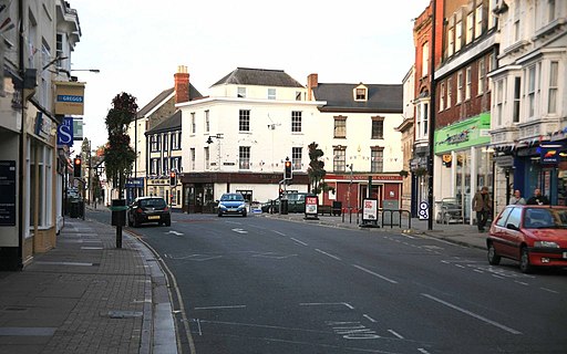
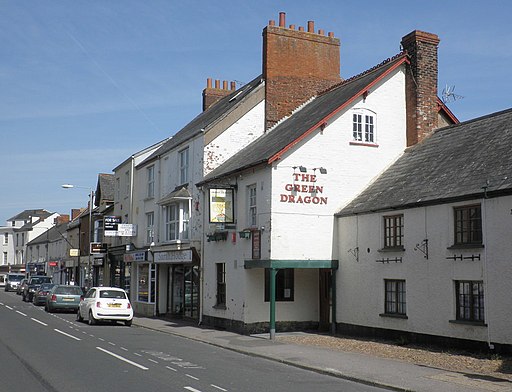
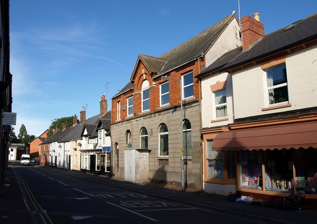
 This market town in Somerset sits on the edge of the Blackdown Hills Area of Outstanding Natural Beauty.
Local walking highlights include the climb to the Wellington Monument which lies just to the south of the town. The distinctive landmark commemorates the Duke of Wellington's victory at the Battle of Waterloo, commanding fine views over the countryside.
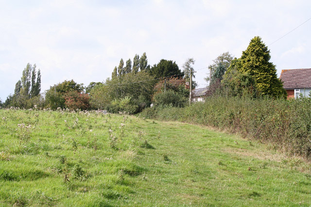
The town also sits on the edge of the Brendon Hills where you'll find streams, rivers, rolling hills, wooded valleys and great views towards the nearby Exmoor National Park.
Just to the north of the town there's also two long distance trails to pick up in the shape of the Grand Western Canal and the West Deane Way. These waymarked trails are an excellent way of exploring the surrounding countryside on foot.
This circular walk makes use of these trails to visit the neighbouring villages of Langford Budville and Nynehead. On the way you will pass close to the noteworthy Nynehead Court. The Grade II listed house dates back to the 14th century and includes impressive landscaped gardens. There's also great views of the surrounding countryside and a visit to a splendid inn that dates back to the 1600s.
Wellington Somerset Ordnance Survey Map  - view and print off detailed OS map
Wellington Somerset Open Street Map  - view and print off detailed map
Wellington Somerset OS Map  - Mobile GPS OS Map with Location tracking
Wellington Somerset Open Street Map  - Mobile GPS Map with Location tracking
Walks near Wellington Somerset
- Grand Western Canal - This splendid waterside walk takes you from Tiverton in Devon to Taunton in Somerset.
The first section of the walk takes you from Tiverton to Greenham along the towpath through the Grand Western Canal Country Park - West Deane Way - This wonderful circular walk takes you through the beautiful Somerset countryside including the Quantocks.
The path starts and ends in Taunton on the River Tone and heads north west towards West Bagborough - Wellington Monument - Enjoy a climb up Wellington Hill and visit the monument created to commemorate the Duke of Wellington's victory at the Battle of Waterloo.
- Culmstock Beacon - This walk climbs to Culmstock Beacon in the Blackdown Hills AONB
- Wiveliscombe - This historic market town is located near Taunton in the county of Somerset
- Brendon Hills - Explore the Brendon Hills range on this challenging walk in the Exmoor National Park
- Wimbleball Lake - Enjoy cycling and walking trails around this large lake on Exmoor
- Samaritans Way South West - Starting at Bristol follow the Samaritans Way to Lynton, in Devon, and visit the Avon Gorge, the Chew Valley, the Cheddar Gorge, the Mendips, the Quantock Hills and the Brendon Hills
- Combe Sydenham Country Park - This country park consists of 500 acres of woodland, parkland and gardens surrounding a Grade I listed 15th century manor house
- Haddon Hill - This circular walk explores Haddon Hill in the Brompton Regis area of Somerset
- Trull Waterfall - This walk visits the picturesque Trull Waterfall near Taunton in Somerset
- Thurlbear Wood - This walk visits the pretty Thurlbear Wood nature reserve near Taunton in Somerset.
- Uffculme - This walk takes you to two of the highlights near to the little village of Uffculme near the Blackdown Hills area of Devon
- Two Counties Way - Travel through Somerset and Devon on this beautiful walk from Taunton to Starcross.
Pubs/Cafes
On the walk you could stop off for refreshments at the Martlett Inn. The lovely pub is something of a local gem with its 17th century flagstone floors and inglenook fireplace. Outside there's also a fine courtyard garden to relax in.
They serve an excellent Sunday roast and provide rooms and car parking. You can find them in Langford Budville at postcode TA21 0QZ.
Dog Walking
The country trails make for a fine dog walk. The Martlett Inn mentioned above is also dog friendly.
Further Information and Other Local Ideas
Cycling information: National Cycle Route 3 runs just to the north of the town. The signed Sustrans route starts on the Cornish coast at Land's End and takes you through Devon and Somerset before arriving at Bristol. Much of it is on quiet country lanes so also suitable for walkers.


