Willingham Woods
![]()
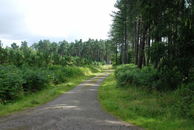
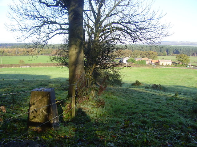
![]() These woods near Market Rasen have miles of good footpaths and cycling trails to try.
These woods near Market Rasen have miles of good footpaths and cycling trails to try.
This route follows the Lindsey Trail which runs through the centre of the forest for about 1.5 miles. You can start from the car park just off the Willingham Road from Market Rasen. If you are bringing your bike to the woods please keep on the stone paths. Walkers can further explore the site on a number of alternative footpaths marked on the maps below. There's pretty ponds and wildlife including woodland birds and deer to look out for.
The site also has a good kisok a with wide range of hot and cold snacks, drinks and ice cream.
To continue your walking in the area head east towards the village of Tealby where you can pick up the Viking Way long distance trail. It will take you on a tour of the beautiful Lincolnshire Wolds.
Willingham Woods Ordnance Survey Map  - view and print off detailed OS map
Willingham Woods Open Street Map  - view and print off detailed map
Willingham Woods OS Map  - Mobile GPS OS Map with Location tracking
Willingham Woods Open Street Map  - Mobile GPS Map with Location tracking
Pubs/Cafes
Head east into Tealby and you could enjoy some post exercise refreshments at the King's Head. Dating from 1367 the inn is notable as the oldest thatched pub in Lincolnshire. Inside there's a charming interior with a cosy lounge and a restaurant. Outside there's a lovely large garden area to relax in on warmer days. You can find them at 11 Kingsway with a postcode of LN8 3YA for your sat navs.
Dog Walking
As you'd imagine the expansive woods are ideal for dog walking so you'll probably bump into other owners on a fine day. The King's Head mentioned above is also dog friendly.
Further Information and Other Local Ideas
The circular Tealby Walk visits nearby Walesby before visiting the woods. The pretty village is well worth a visit with a 12th century church and a thatched pub dating back to the 14th century.
The epic Lindsey Trail passes through the woods. This circular cycling and walking route follows a bridleway around the Lincolnshire Wolds AONB. The route runs for over 70 miles and visits nearby Tealby and Market Rasen.
For more walking ideas in the area see the Lincolnshire Walks page.


