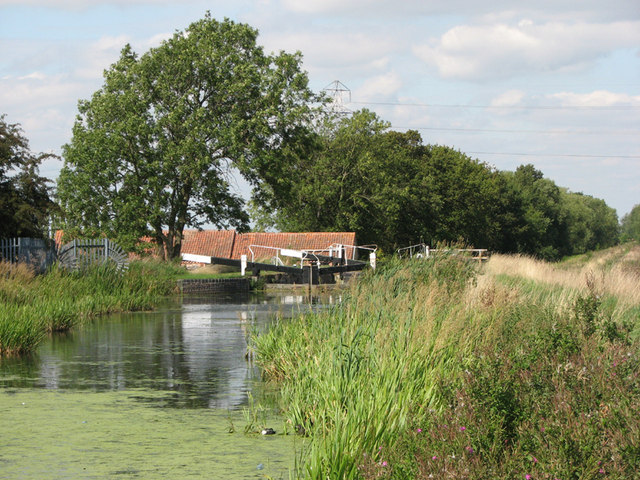
Woolsthorpe by Belvoir and Belvoir Castle

 The pretty Lincolnshire village of Woolsthorpe by Belvoir is a splendid place for walking. Several waymarked long distance trails pass through the area and the Grantham Canal runs just to the north of the village. There's also the majestic grounds of the Grade I listed Belvoir Castle and some nice woodland trails through Stathern Woods and Barkestone Woods to enjoy.
This 14 mile walk takes you on a tour of the area, visiting the canal, the Belvoir Estate and the nearby village of Stathern. There's some moderate hill climbs with wonderful views of the Vale of Belvoir from the high points.
The walk starts in the village and heads north along Sedgebrook Road to the delightful Woolsthorpe Wharf on the canal. You then head east along the canal to Longmoor Bridge before picking up a section of the Viking Way to take you back to the village. Here you pick up the Jubilee Way to take you through the Belvoir Estate, passing through Old Park Wood, Plungar Wood and Stathern Wood.
The route then heads into the Leicestershire village of Stathern where you can enjoy refreshments before returning to the village.
This walk follows public footpaths but for a fee you can explore the castle grounds during the summer months. In the castle there's fine artwork, exquisite furniture and a museum detailing the interesting history of the castle. There's also lovely footpaths taking you to pretty gardens, peaceful woodland and the two large lakes.
To extend your walking in the area you could head east and visit Denton Reservoir where there's a nice grassy footpath to follow around the water. You could also follow the canal east into the town of Grantham and vist the National Trust's Belton House.
Also nearby is the pretty village of Knipton where there are some nice country lanes along Knipton Reservoir.


