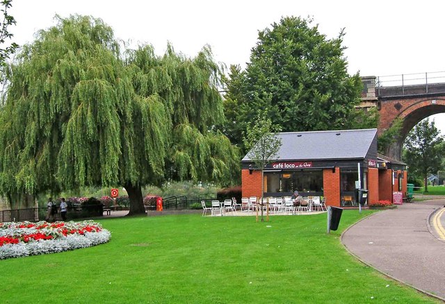
Worcester Riverside Walk

 An easy riverside walk along the River Severn from Worcester Cathedral to the nearby village of Hallow. The walk is very flat and lasts for just over 6 miles, there and back. It follows a section of the Severn Way long distance trail which runs through the city.
The walk starts next to the cathedral and heads north past Worcester Bridge to Sabrina Bridge. Cross to the western side of the river and follow the Severn Way past the Worcester Racecourse and Northwick to Hallow Park. Follow the trails through the woods to the village of Hallow where you can refresh yourself at the local pub before starting the return journey.
If you wanted to extend your walk you could continue north along the Severn Way to Grimley and Holt Fleet. You could also head south along the river to Kempsey and Upton on Severn.
Just to the south of the cathedral you can pick up the towpath of the Worcester and Birmingham Canal and enjoy another waterside walk in the city.
Worcester Riverside Walk Ordnance Survey Map  - view and print off detailed OS map
Worcester Riverside Walk Open Street Map  - view and print off detailed map
Worcester Riverside Walk OS Map  - Mobile GPS OS Map with Location tracking
Worcester Riverside Walk Open Street Map  - Mobile GPS Map with Location tracking
Further Information and Other Local Ideas
Head south and you could pick up the Old Hills and Stanbrook Abbey Walk. On this circular walk you will climb to a fine viewpoint with views towards the city. The trail also visits the historic Stanbrook Abbey, a former Benedictine monastery set within 26 acres of lovely grounds.
Also to the south are the settlements of Hanley Swan, Upton Upon Severn, Tewkesbury and Twyning where you can enjoy more waterside trails along the River Avon.
Just to the north is the worthy village of Ombersley where you'll find a number of interesting timber framed properties, an ancient 15th century pub and the historic Ombersley House Estate.
For a longer circular walk in the city you could try the Wild About Worcester Way. The waymarked walk explores the green spaces around the city including nature reserves, city parks, woodland trails, pretty meadows and historic buildings.
For more walking ideas in the area see the Worcestershire Walks and the Malvern Hills Walks page.


