Liddington Hill Castle
![]()
![]() This circular walk uses the Ridgeway and the Aldbourne Circular Walk to climb Liddington Hill near Swindon. On the hill you will find Liddington Castle, a late Bronze Age and early Iron Age hill fort. The route climbs to a height over 900 feet with fantastic views over the countryside of the North Wessex Downs Area of Outstanding Natural Beauty.
This circular walk uses the Ridgeway and the Aldbourne Circular Walk to climb Liddington Hill near Swindon. On the hill you will find Liddington Castle, a late Bronze Age and early Iron Age hill fort. The route climbs to a height over 900 feet with fantastic views over the countryside of the North Wessex Downs Area of Outstanding Natural Beauty.
You start the walk at the car park just south of the village of Chiseldon. You then follow footpaths up to Folly Farm before turning north to climb Liddington Hill. You can then explore Liddington Castle, one of the earliest hill forts in Britain, dating back to the seventh century BC. It's a fascinating and often tranquil area with few visitors.
After taking in the wonderful views the walk then descends to Sugar Hill and Shipley Bottom before returning to Folly Farm and the car park.
An alternative route is to follow the Aldbourne Circular Walk from the village of Aldbourne. It's located a few miles south east of the hill.
You could extend your walk by picking up the Chiseldon and Marlborough Railway Path. The disused railway runs to Marlborough through some lovely countryside with views of the River Kennet and a visit to some pretty Wiltshire villages.
Also nearby is Barbury Castle Country Park and the splendid Coate Water Country Park which has nice cycling and walking trails around a large lake.
Postcode
SN4 0HJ - Please note: Postcode may be approximate for some rural locationsLiddington Hill Ordnance Survey Map  - view and print off detailed OS map
Liddington Hill Open Street Map  - view and print off detailed map
Liddington Hill OS Map  - Mobile GPS OS Map with Location tracking
Liddington Hill Open Street Map  - Mobile GPS Map with Location tracking
Further Information and Other Local Ideas
A few miles south west of the hill you can try another popular local walk at Hackpen Hill. Here you'll find a 19th century White Horse Hill figure and more excellent views. The circular walk starts from the car park at the hill and visits Barbury Castle before heading to nearby Rockley.
The area was a favourite of local writer Richard Jeffries who was inspired by the rolling hills. If you head a couple of miles north from the hill to Coate you could visit the fascinating Richard Jeffries Museum. Jeffries was a Victorian nature writer with a passion for the English countryside. He even gave us a name for it all: wild life. He was born in Coate at the delightful 17th century thatched house which is now a museum to his life and work. The house is also surrounded by lush gardens making it a lovely place for a stroll after your climb. You can find the museum at postcode SN3 6AA, just to the north east of Coate Water.
For more walking ideas in the area see the North Wessex Downs Walks page.
Cycle Routes and Walking Routes Nearby
Photos
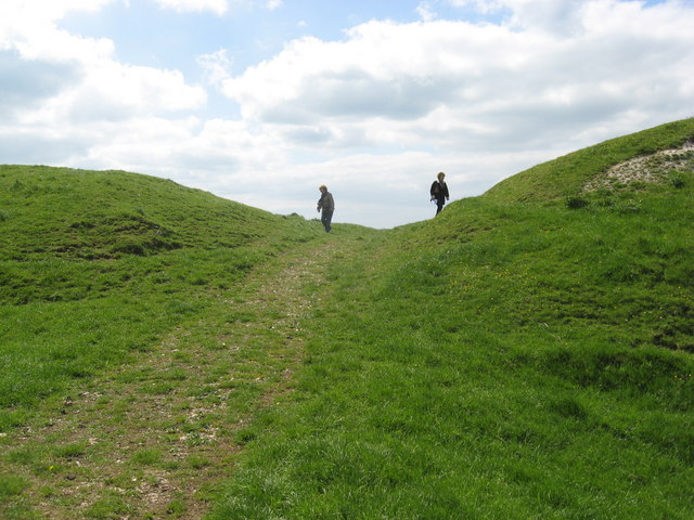
Liddington Castle. This image shows part of the northern ramparts of this Iron Age hill fort. It dates to the seventh century BC. It is a renowned local landmark and is held in some affection by local residents. Perhaps because access is limited the images from today are the first taken from the castle itself to be submitted to Geograph. This is the true high point of the M4 corridor between the cities of London and Bristol.
Millennium stone. The plaque on the stone acknowledges the support of inter alia the Ordnance Survey, the sponsors of Geograph. The stone is within a metre or two of a triangulation pillar.
Chiseldon from the Castle. The photograph is taken from the top of the Castle. The village of Chiseldon is central, with the A346 marked by the row of trees cutting across from left to right. The road below the Castle meets the A346 towards the left edge, and the white farm building on the right of this junction is Bush House.
Triangulation pillar. The pillar stood for years in splendid isolation until 2000 when it was joined by a stone commemorating the millennium.
A view west from the Castle. The road crossing diagonally from lower right to centre left is known as the Ridgeway. It connects with the A346 old Roman road at the collection of buildings at the left of the image. This is named on the maps as Bush House. To the right of that is an Esso service station. Beyond that is part of the village of Chiseldon.


